
- Afhalen na 1 uur in een winkel met voorraad
- Gratis thuislevering in België vanaf € 30
- Ruim aanbod met 7 miljoen producten
- Afhalen na 1 uur in een winkel met voorraad
- Gratis thuislevering in België vanaf € 30
- Ruim aanbod met 7 miljoen producten


Resultaten voor "National Geographic Maps - Trails Illustrated"
-
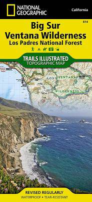
Big Sur / Ventana Wilderness /CA
- Gevouwen kaart | Engels
- National Geographic's Trails Illustrated map of Big Sur, Ventana Wilderness combines unmatched detail with helpful information to offer an invaluable ... Lees meer
€ 15,95Levering 1 à 2 weken€ 15,95Levering 1 à 2 weken -
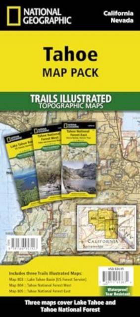
Tahoe [Map Pack Bundle]
- Gevouwen kaart | Engels
- - Waterproof - Tear-Resistant - Topographic Maps Lake Tahoe is the sapphire jewel in the crown of the Sierra Nevada mountains. The lake's surface cove... Lees meer
€ 48,95Levering 1 à 2 weken€ 48,95Levering 1 à 2 weken -
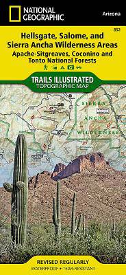
Hellsgate, Salome, Sierra Ancha Wilderness Areas /AZ
- Gevouwen kaart | Engels
- One of the largest national forests in the United States, Tonto National Forest is known not only for its diversity of terrain, flora and fauna but al... Lees meer
€ 15,95Levering 1 à 2 weken€ 15,95Levering 1 à 2 weken -
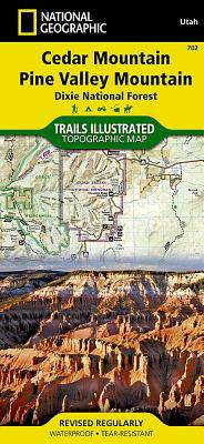
Cedar Mountain - Asdown Gorge /UT
- Gevouwen kaart | Engels
- Cedar City is the headquarters of the Dixie National Forest which is a two-million-acre, 170-mile stretch of breathtaking wilderness across southern U... Lees meer
€ 15,95Levering 1 à 2 weken€ 15,95Levering 1 à 2 weken -
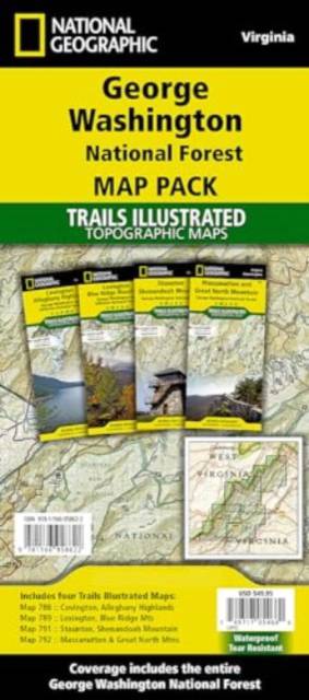
George Washington Nat. Forest Map Pack /VA
- Gevouwen kaart | Engels
- Explore the natural beauty, historical sites, and many recreation opportunities available in southern Virginia with National Geographic's Trails Illus... Lees meer
€ 49,95Levering 1 à 2 weken€ 49,95Levering 1 à 2 weken -
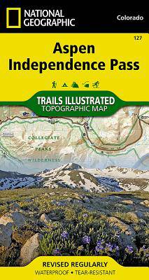
Aspen / Independence Pass /CO
- Gevouwen kaart | Engels
- National Geographic's Trails Illustrated map of Aspen and Independence Pass delivers unmatched detail and valuable information to assist you in your e... Lees meer
€ 15,95Levering 1 à 2 weken€ 15,95Levering 1 à 2 weken -
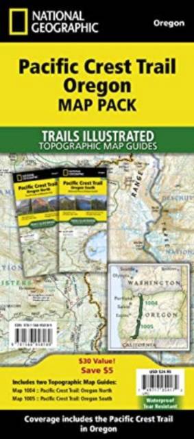
Pacific Crest Trail: Oregon [Map Pack Bundle]
- Gevouwen kaart | Engels
- - Waterproof - Tear-Resistant - Topographic Maps The Pacific Crest Trail (PCT) Map Pack Bundle of Oregon includes two Topographic Map Guides that cove... Lees meer
€ 34,95Levering 1 à 2 weken€ 34,95Levering 1 à 2 weken -
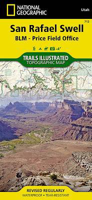
San Rafael Swell Map [Blm - Price Field Office]
- Gevouwen kaart | Engels
- - Waterproof - Tear-Resistant - Topographic Map The San Rafael Swell is a dramatic landscape of slot canyons, pinnacles, mesas, and arches carved over... Lees meer
€ 21,95Levering 1 à 4 weken€ 21,95Levering 1 à 4 weken -
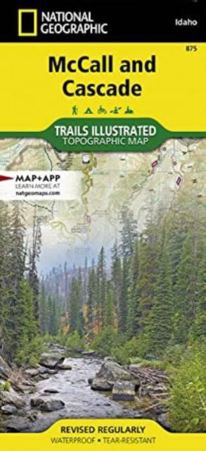
McCall and Lake Cascade
- Gevouwen kaart | Engels
- - Waterproof - Tear-Resistant - Topographic Map Centered on Payette Lake and the resort town of McCall, the map covers the western half of Payette Nat... Lees meer
€ 22,95Levering 1 à 2 weken€ 22,95Levering 1 à 2 weken -
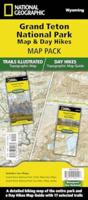
Grand Teton Day Hikes and National Park Map [Map Pack Bundle]
- Gevouwen kaart | Engels
- - Waterproof - Tear-Resistant - Topographic Maps The Tetons evoke a sense of inspiration and aspiration in all who visit. Established in 1929, Grand T... Lees meer
€ 34,95Levering 1 à 2 weken€ 34,95Levering 1 à 2 weken -
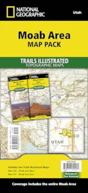
Moab Area [Map Pack Bundle]
- Gevouwen kaart | Engels
- - Waterproof - Tear-Resistant - Topographic Maps A premier destination for mountain biking, hiking, whitewater rafting, four-wheeling, and more, Moab ... Lees meer
€ 34,95Levering 1 à 2 weken€ 34,95Levering 1 à 2 weken -
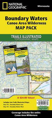
Boundary Waters Canoe Area Wilderness [Map Pack Bundle]
- Gevouwen kaart | Engels
- - Waterproof - Tear-Resistant - Topographic Maps The Boundary Waters was recognized for recreational opportunities in 1926, named the Superior Roadles... Lees meer
€ 36,45Levering 1 à 4 weken€ 36,45Levering 1 à 4 weken -

Sequoia & Kings Canyon NP /CA
- Gevouwen kaart | Engels
- In Sequioa and Kings Canyon National Parks you can walk among the world's largest trees, hike the alpine landscape of the Sierra Crest, and marvel at ... Lees meer
€ 15,95Levering 1 à 2 weken€ 15,95Levering 1 à 2 weken -
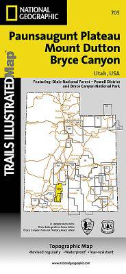
Mount Dutton - Aquarius Plateau /UT
- Gevouwen kaart | Engels
- This map covers the spectacularly scenic stretch in southern Utah of the Powell and Escalante Ranger Districts of Dixie National Forest—from Bicknell ... Lees meer
€ 15,95Levering 1 à 2 weken€ 15,95Levering 1 à 2 weken -
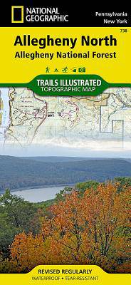
Allegheny North (Allegheny Nat. Forest) /PA
- Gevouwen kaart | Engels
- National Geographic's Trails Illustrated map of Allegheny North delivers unmatched detail and valuable information to assist you in your exploration o... Lees meer
€ 15,95Levering 1 à 2 weken€ 15,95Levering 1 à 2 weken -
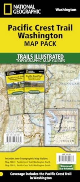
Pacific Crest Trail: Washington [Map Pack Bundle]
- Gevouwen kaart | Engels
- - Waterproof - Tear-Resistant - Topographic Maps The Pacific Crest Trail (PCT) Map Pack Bundle of Washington includes two Topographic Map Guides that ... Lees meer
€ 34,95Levering 1 à 2 weken€ 34,95Levering 1 à 2 weken -

Jasper North - Jasper NP
- Gevouwen kaart | Engels
- The largest park in the Canadian Rockies, Jasper National Park is a UNESCO World Heritage Site with breathtaking mountain scenery and bountiful recrea... Lees meer
€ 15,95Levering 1 à 2 weken€ 15,95Levering 1 à 2 weken -
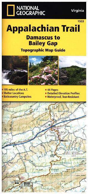
Appalachian Trail: Damascus to Bailey Gap Map [Virginia]
- Engels
- The Damascus to Bailey Gap Topographic Map Guide makes a perfect traveling companion when traversing the southwest Virginia section of the Appalachian... Lees meer
€ 15,95Levering 1 à 2 weken€ 15,95Levering 1 à 2 weken -
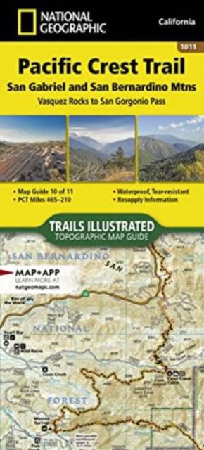
Pacific Crest Trail: San Gabriel and San Bernardino Mountains Map [Vasquez Rocks to San Gorgonio Pass]
- Engels
- - Waterproof - Tear-Resistant - Topographic Map The Pacific Crest Trail (PCT) in this part of southern California travels through the scrub-covered Si... Lees meer
€ 20,95Levering 1 à 2 weken€ 20,95Levering 1 à 2 weken -
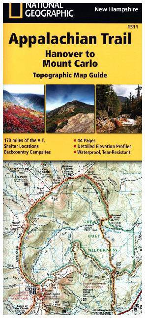
Appalachian Trail: Hanover to Mount Carlo Map [New Hampshire]
- Engels
- The Hanover to Mount Carlo Topographic Map Guide makes a perfect traveling companion when traversing the New Hampshire section of the Appalachian Trai... Lees meer
€ 15,95Levering 1 à 2 weken€ 15,95Levering 1 à 2 weken -
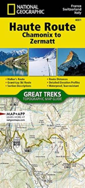
Haute Route Map [Chamonix to Zermatt]
- Engels
- The Haute Route—aka the High Route or Mountaineers' Route—traverses the French and Swiss Alps. It was conceived as a summer mountaineering route in th... Lees meer
€ 15,95Levering 1 à 2 weken€ 15,95Levering 1 à 2 weken -
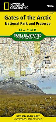
Gates of the Arctic /AK
- Gevouwen kaart | Engels
- Let National Geographic's Trails Illustrated map for Gates of the Arctic National Park and Preserve guide you on your adventure in this remote wildern... Lees meer
€ 15,95Levering 1 à 2 weken€ 15,95Levering 1 à 2 weken -
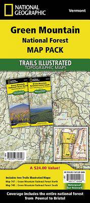
Green Mountain National Forest [Map Pack Bundle]
- Gevouwen kaart | Engels
- - Waterproof - Tear-Resistant - Topographic Maps The Green Mountain National Forest Map Pack Bundle is the perfect companion to anyone planning a trip... Lees meer
€ 34,95Levering 1 à 2 weken€ 34,95Levering 1 à 2 weken -
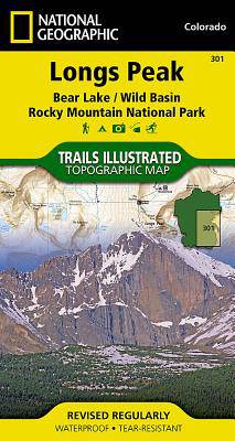
Longs Peak / Bear Lake / Wild Basin / Rocky Mountain NP /CO
- Gevouwen kaart | Engels
- Towering over the Rocky Mountains stands the 14,259 foot high Longs Peak. National Geographic's Trails Illustrated map of Longs Peak and the surroundi... Lees meer
€ 13,50Levering 1 à 2 weken€ 13,50Levering 1 à 2 weken