- Afhalen na 1 uur in een winkel met voorraad
- Gratis thuislevering in België vanaf € 30
- Ruim aanbod met 7 miljoen producten
- Afhalen na 1 uur in een winkel met voorraad
- Gratis thuislevering in België vanaf € 30
- Ruim aanbod met 7 miljoen producten
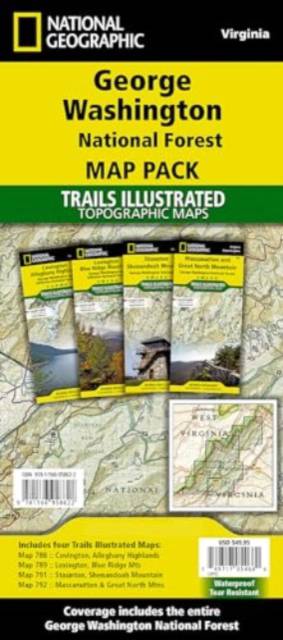
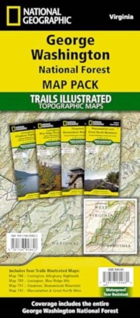
George Washington Nat. Forest Map Pack /VA
Omschrijving
- Waterproof - Tear-Resistant - Topographic Maps
Explore the natural beauty, historical sites, and many recreation opportunities available in southern Virginia with National Geographic's Trails Illustrated Map Pack Bundle of Jefferson National Forest. Created in partnership with local land management agencies, these expertly researched maps deliver unmatched detail and helpful information for experienced outdoor enthusiasts and casual visitors alike. The Map Pack Bundle includes the Mount Rogers Recreation Area with coverage that extends from the border with Tennessee and North Carolina to the James River.
With miles of mapped trails including portions of the Appalachian Trail, these maps can guide you off the beaten path and back again in some of the most breathtaking scenery in the region. Extensive trail charts will help you choose a trail that's right for your activity level and recreation use whether you're hiking, horseback riding, or biking. The map base includes contour lines, shaded relief, and elevations for summits and passes.
The George Washington National Forest Map Pack includes:
- Map 788:: Covington, Alleghany Highlands
- Map 789:: Lexington, Blue Ridge Mountains
- Map 791:: Staunton, Shenandoah Mountain
- Map 792:: Massanutten and Great North Mountains
Every Trails Illustrated map is printed on "Backcountry Tough" waterproof, tear-resistant paper. A full UTM grid is printed on the map to aid with GPS navigation.
- Map Scale = 1:75,000
- Sheet Size = 25.5" x 37.75"
- Folded Size = 4.25" x 9.25"
Specificaties
Betrokkenen
- Auteur(s):
- Uitgeverij:
Inhoud
- Aantal bladzijden:
- 8
- Taal:
- Engels
- Reeks:
Eigenschappen
- Productcode (EAN):
- 9781566958622
- Verschijningsdatum:
- 1/01/2020
- Uitvoering:
- Gevouwen kaart
- Formaat:
- Gelamineerd
- Afmetingen:
- 11 cm x 24 cm
- Gewicht:
- 401 g

Alleen bij Standaard Boekhandel
Beoordelingen
We publiceren alleen reviews die voldoen aan de voorwaarden voor reviews. Bekijk onze voorwaarden voor reviews.


