- Afhalen na 1 uur in een winkel met voorraad
- Gratis thuislevering in België vanaf € 30
- Ruim aanbod met 7 miljoen producten
- Afhalen na 1 uur in een winkel met voorraad
- Gratis thuislevering in België vanaf € 30
- Ruim aanbod met 7 miljoen producten
Zoeken
Reeksen: boeken uit de reeks Collins Road Atlas
-
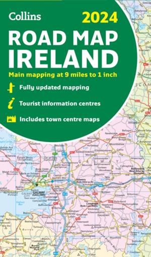
2024 Collins Road Map of Ireland
- Gevouwen kaart
- Discover new places with fully updated road atlases from Collins. Full-colour map of Ireland at 9 miles to 1 inch (1:570,240), with clear, detailed ro... Lees meer
€ 11,95Levering 1 à 2 weken€ 11,95Levering 1 à 2 weken -
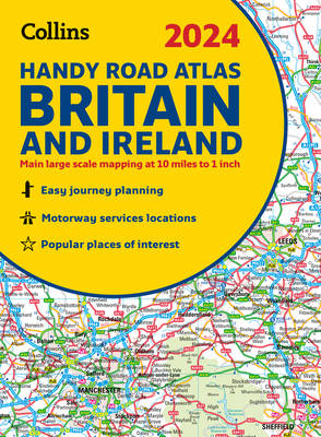
2024 Collins Handy Road Atlas Britain and Ireland
Collins
- Met spiraalrug | Engels | Collins Road Atlas
- This easy-to-use, handy A5 sized road atlas with popular lie-flat spiral binding features extremely clear route planning maps of Britain and Ireland a... Lees meer
€ 8,45Levering 1 à 2 weken€ 8,45Levering 1 à 2 weken -
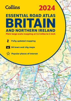
2024 Collins Essential Road Atlas Britain and Northern Ireland
Collins
- Met spiraalrug | Engels | Collins Road Atlas
- This A4 road atlas with lie-flat spiral binding provides clear and detailed road mapping for England, Wales and Southern Scotland at a scale of 3.2 mi... Lees meer
€ 25,45Levering 1 à 2 weken€ 25,45Levering 1 à 2 weken -
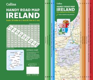
Collins Handy Road Map Ireland
Collins Maps
- Paperback | Engels | Collins Road Atlas
- Easy-to-use route-planning map covering the whole of Ireland opens almost like a book. It has the convenience of an atlas with all the benefits of a f... Lees meer
€ 6,95Levering 1 à 2 weken€ 6,95Levering 1 à 2 weken -
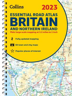
2023 Collins Essential Road Atlas Britain and Northern Ireland
Collins Maps
- Met spiraalrug | Engels | Collins Road Atlas
- This A4 road atlas with popular lie-flat spiral binding features clear, detailed road mapping, at a scale of 3.2 miles to 1 inch (1:200,000) for Engla... Lees meer
€ 25,45Levering 1 à 2 weken€ 25,45Levering 1 à 2 weken -
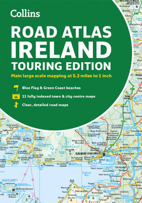
Road Atlas Ireland
Collins Maps
- Paperback | Engels | Collins Road Atlas
- Explore Ireland with this accurate and fully updated road atlas. This road atlas is at A4 size, covering the whole of Ireland and features clear and d... Lees meer
€ 9,95Levering 1 à 2 weken€ 9,95Levering 1 à 2 weken -
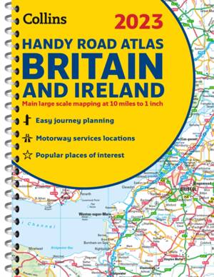
2023 Collins Handy Road Atlas Britain and Ireland
Dorothy Warren
- Met spiraalrug | Engels | Collins Road Atlas
- Discover new places with fully updated road atlases from Collins. This easy-to-use, handy A5 sized road atlas with popular lie-flat spiral binding fea... Lees meer
€ 10,45Levering 1 à 2 weken€ 10,45Levering 1 à 2 weken -
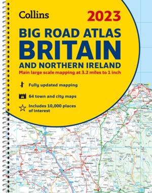
2023 Collins Big Road Atlas Britain and Northern Ireland
Dorothy Warren
- Met spiraalrug | Engels | Collins Road Atlas
- Discover new places with fully updated road atlases from Collins. The ultimate 3.2 miles to 1 inch scale large format paperback road atlas of Britain,... Lees meer
€ 21,95Levering 1 à 2 weken€ 21,95Levering 1 à 2 weken -
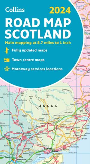
2024 Collins Road Map of Scotland
- Gevouwen kaart
- Full-colour map of Scotland at 8.7 miles to 1 inch, with clear road network and administrative areas shown in colour. The map covers the whole of Scot... Lees meer
€ 11,95Levering 1 à 2 weken€ 11,95Levering 1 à 2 weken -
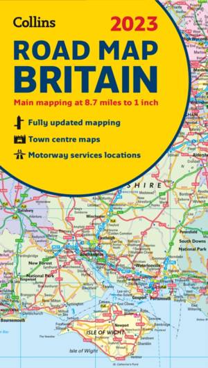
2023 Collins Road Map of Britain
- Gevouwen kaart
- Discover new places with fully updated road atlases from Collins. Full colour double-sided map of Great Britain at 8.7 miles to 1 inch (1:550,000), wi... Lees meer
€ 11,95Levering 1 à 2 weken€ 11,95Levering 1 à 2 weken -
2024 Collins Road Map of Britain
- Gevouwen kaart | Engels
- Full-colour, double-sided road map of Great Britain at a scale of 8.7 miles to 1 inch. Northern England, Scotland and the Isle of Man are on one side ... Lees meer
€ 9,95Levering 1 à 2 weken€ 9,95Levering 1 à 2 weken -
Map of Ireland Handy
- Gevouwen kaart | Engels
- Explore new places with this authoritative map of Ireland. Easy-to-use route-planning map covering the whole of Ireland opens almost like a book. It h... Lees meer
€ 8,45Levering 1 à 2 weken€ 8,45Levering 1 à 2 weken -
2023 Collins Road Map of Ireland
- Gevouwen kaart
- Discover new places with fully updated road atlases from Collins. Full colour map of Ireland at 9 miles to 1 inch (1:570,240), with clear, detailed ro... Lees meer
€ 9,95Verwachte beschikbaarheidsdatum onbekend€ 9,95Verwachte beschikbaarheidsdatum onbekend -
2021 Collins Road Map Britain
- Gevouwen kaart | Engels
- Full colour double-sided map of Great Britain at 8.7 miles to 1 inch (1:550,000), with clear, detailed road network and administrative areas shown in ... Lees meer
€ 6,95Verwachte beschikbaarheidsdatum onbekend€ 6,95Verwachte beschikbaarheidsdatum onbekend -
2021 Collins Road Map Europe
- Gevouwen kaart | Engels
- A fully revised and updated colour road map of Europe at a scale of 79 miles to 1 inch / 50km to 1cm (1: 5,000,000). Roads, motorways, European Route ... Lees meer
€ 8,45Verwachte beschikbaarheidsdatum onbekend€ 8,45Verwachte beschikbaarheidsdatum onbekend -
Map of Scotland 2021
- Gevouwen kaart
- Full colour map of Scotland at 8.7 miles to 1 inch (1:550,000) with clear, detailed road network and administrative areas shown in colour. The map cov... Lees meer
€ 6,95Verwachte beschikbaarheidsdatum onbekend€ 6,95Verwachte beschikbaarheidsdatum onbekend -
2021 Collins Essential Road Atlas Europe
Collins Maps
- Met spiraalrug | Engels | Collins Road Atlas
- Up-to-date spiral bound road atlas of Europe. Contains clear, large-scale, detailed road mapping, perfect for touring the Mediterranean, Iberian penin... Lees meer
€ 20,95Verwachte beschikbaarheidsdatum onbekend€ 20,95Verwachte beschikbaarheidsdatum onbekend -
2021 Collins Essential Road Atlas Britain and Northern Ireland
Collins Maps
- Met spiraalrug | Engels | Collins Road Atlas
- This atlas with popular lie-flat binding features clear, detailed road mapping, at a scale of 3.2 miles to 1 inch (1:200,000) for England, Wales and S... Lees meer
€ 20,95Verwachte beschikbaarheidsdatum onbekend€ 20,95Verwachte beschikbaarheidsdatum onbekend -
2024 Collins Big Road Atlas Britain and Northern Ireland
Collins Maps
- Met spiraalrug | Collins Road Atlas
- The ultimate 3.2 miles to 1 inch scale large format paperback road atlas of Britain, featuring Collins’ popular and well established road mapping, and... Lees meer
€ 20,95Verwachte beschikbaarheidsdatum onbekend€ 20,95Verwachte beschikbaarheidsdatum onbekend -
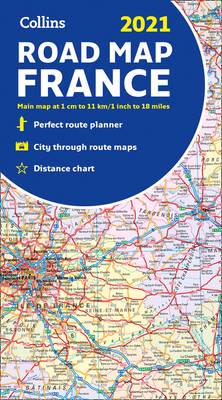
2021 Collins Road Map France
- Gevouwen kaart | Engels
- New edition of annually revised, politically coloured road map of France at 18 miles to 1 inch / 11km to 1cm (1:1,120,000). The map shows individual d... Lees meer
€ 8,45Verwachte beschikbaarheidsdatum onbekend€ 8,45Verwachte beschikbaarheidsdatum onbekend -
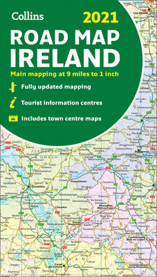
Map of Ireland 2021
- Gevouwen kaart
- Explore Ireland with this full colour road map. Full colour map of Ireland at 9 miles to 1 inch (1:570,240), with clear, detailed road network and cou... Lees meer
€ 6,95Verwachte beschikbaarheidsdatum onbekend€ 6,95Verwachte beschikbaarheidsdatum onbekend
21 van 21 resultaten getoond


