
Je cadeautjes zeker op tijd in huis hebben voor de feestdagen? Kom langs in onze winkels en vind het perfecte geschenk!
- Afhalen na 1 uur in een winkel met voorraad
- Gratis thuislevering in België vanaf € 30
- Ruim aanbod met 7 miljoen producten
Je cadeautjes zeker op tijd in huis hebben voor de feestdagen? Kom langs in onze winkels en vind het perfecte geschenk!
- Afhalen na 1 uur in een winkel met voorraad
- Gratis thuislevering in België vanaf € 30
- Ruim aanbod met 7 miljoen producten


Boeken geschreven door Collins Maps

-
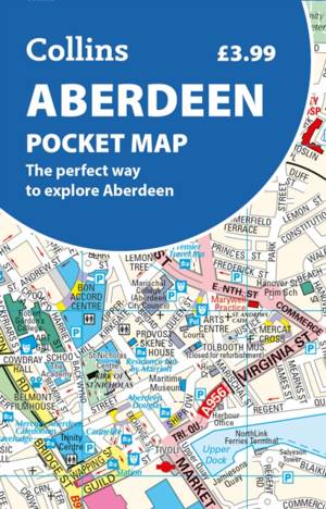
Aberdeen Pocket Map
- Gevouwen kaart
- Handy little full colour Collins map of Aberdeen with a high level of detail. Clear mapping of the central area extending to the airport and along the... Lees meer
€ 5,95Pre-order nu, verschijnt op 04/06/2026€ 5,95Pre-order nu, verschijnt op 04/06/2026 -
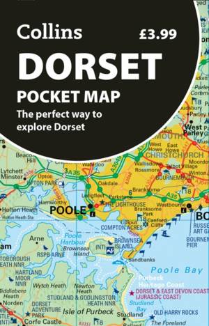
Dorset Pocket Map
- Gevouwen kaart
- Discover new places with handy pocket maps from Collins. Lees meer
€ 5,95Pre-order nu, verschijnt op 04/06/2026€ 5,95Pre-order nu, verschijnt op 04/06/2026 -
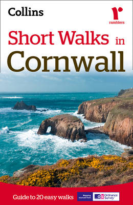
Short Walks in Cornwall
Collins Maps
- Paperback | Engels
- A practical guide to walks that can easily be completed in less that 3 hours This compact little guide contains 20 walks, all of which are five miles ... Lees meer
€ 9,95Levering 1 à 2 weken€ 9,95Levering 1 à 2 weken -
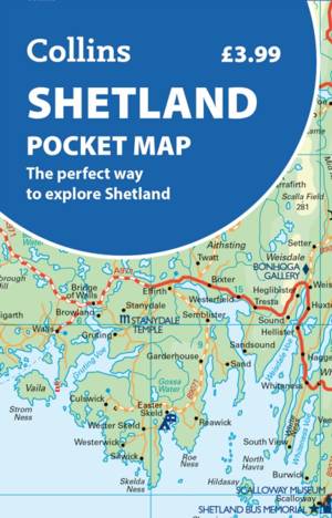
Shetland Pocket Map
- Gevouwen kaart
- Discover new places with handy pocket maps from Collins. Lees meer
€ 5,95Pre-order nu, verschijnt op 12/03/2026€ 5,95Pre-order nu, verschijnt op 12/03/2026 -
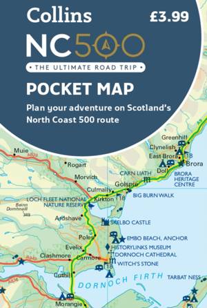
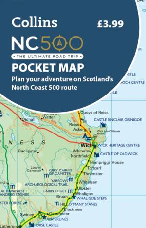
NC500 Pocket Map
- Gevouwen kaart
- Explore new places with handy pocket maps from Collins. Handy little full colour map of the popular North Coast 500 route. A perfect guide for travell... Lees meer
€ 5,95Levering 1 à 2 weken€ 5,95Levering 1 à 2 weken -
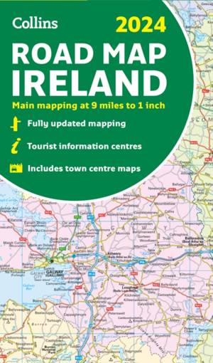
2024 Collins Road Map of Ireland
- Gevouwen kaart
- Discover new places with fully updated road atlases from Collins. Full-colour map of Ireland at 9 miles to 1 inch (1:570,240), with clear, detailed ro... Lees meer
€ 11,95Levering 1 à 2 weken€ 11,95Levering 1 à 2 weken -
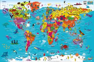
Collins Children's World Map
Collins Maps
- CD
- Colourful Illustrated Map of the World Lees meer
€ 6,95Levering 1 à 2 weken€ 6,95Levering 1 à 2 weken -
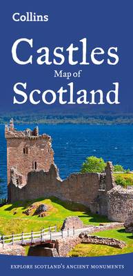
Castles Map of Scotland
- Gevouwen kaart | Engels
- Explore Scotland's ancient monuments with this pictorial map featuring over 700 castles and fortified houses. Includes an easy-to-use index listing vi... Lees meer
€ 10,45Levering 1 à 2 weken€ 10,45Levering 1 à 2 weken -
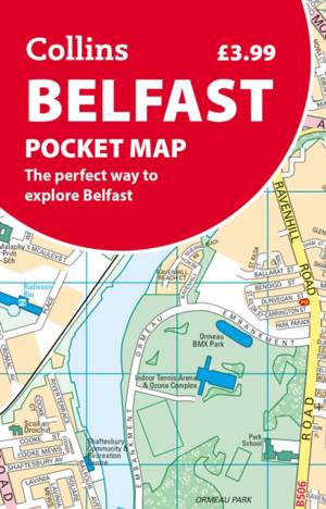
Belfast Pocket Map
- Gevouwen kaart
- Discover new places in Belfast with this handy pocket map from Collins Lees meer
€ 5,95Levering 1 à 2 weken€ 5,95Levering 1 à 2 weken -
NC500 Pocket Map
- Gevouwen kaart
- Explore new places with handy pocket maps from Collins. Lees meer
€ 5,95Pre-order nu, verschijnt op 12/02/2026€ 5,95Pre-order nu, verschijnt op 12/02/2026 -

Castles Map of Scotland
- Gevouwen kaart
- Discover Scotland's ancient monuments and castles. Explore Scotland’s ancient monuments with this pictorial map featuring over 700 castles and fortifi... Lees meer
€ 11,45Levering 1 à 2 weken€ 11,45Levering 1 à 2 weken -
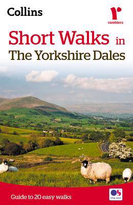
Short walks in the Yorkshire Dales
Collins Maps, Brian Spencer
- Paperback
- The Yorkshire Dales with its picturesque dales, ancient farmhouses and villages offer some superb country walking.This can be explored with these 20 w... Lees meer
€ 9,95Levering 1 à 2 weken€ 9,95Levering 1 à 2 weken -
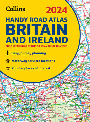
2024 Collins Handy Road Atlas Britain and Ireland
Collins Maps
- Met spiraalrug | Collins Road Atlas
- This easy-to-use, handy A5 sized road atlas with popular lie-flat spiral binding features extremely clear route planning maps of Britain and Ireland a... Lees meer
€ 8,45Levering 1 à 2 weken€ 8,45Levering 1 à 2 weken -
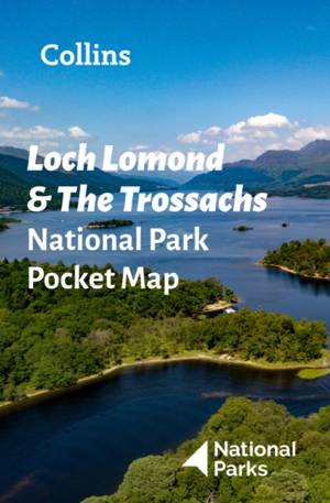
Loch Lomond and The Trossachs National Park Pocket Map
- Gevouwen kaart
- Explore the National Parks with this handy pocket map. Handy little full colour map and guide of Loch Lomond National Park. Detailed mapping and visit... Lees meer
€ 5,95Levering 1 à 2 weken€ 5,95Levering 1 à 2 weken -
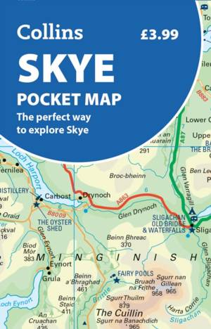
Skye Pocket Map
- Gevouwen kaart
- Discover new places with handy pocket maps from Collins. Lees meer
€ 5,95Pre-order nu, verschijnt op 04/06/2026€ 5,95Pre-order nu, verschijnt op 04/06/2026 -
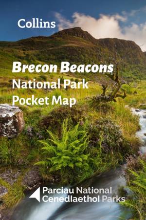
Brecon Beacons National Park Pocket Map
- Gevouwen kaart
- Explore the National Parks with this handy pocket map. Handy little full colour map and guide of Bannau Brycheiniog (Brecon Beacons) National Park. De... Lees meer
€ 5,95Levering 1 à 2 weken€ 5,95Levering 1 à 2 weken -

Wild Atlantic Way Pocket Map
- Gevouwen kaart
- Explore new places with handy pocket maps from Collins. Lees meer
€ 5,95Pre-order nu, verschijnt op 12/02/2026€ 5,95Pre-order nu, verschijnt op 12/02/2026 -
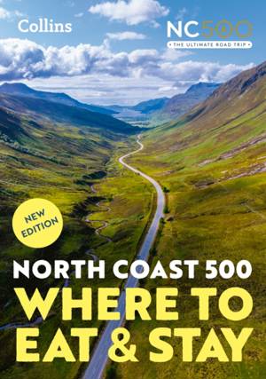
North Coast 500
Collins Maps, Highlands2Hammocks
- Paperback
- A guide to the best places to enjoy the local Scottish cuisine and where to rest for the night along the famous North Coast 500. Elemental, enchanting... Lees meer
€ 20,95Pre-order nu, verschijnt op 26/03/2026€ 20,95Pre-order nu, verschijnt op 26/03/2026 -
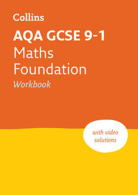
Aqa GCSE 9-1 Maths Foundation Workbook
Collins Maps
- Paperback | Engels | Collins GCSE Grade 9-1 Revision
- Targeted practice questions covering the GCSE grade 9-1 curriculum Lees meer
€ 8,95Levering 1 à 2 weken€ 8,95Levering 1 à 2 weken -
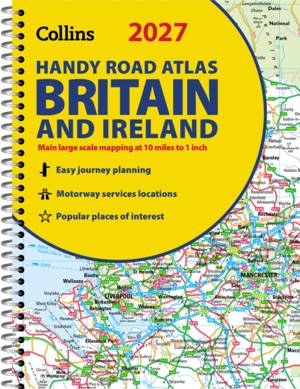
2027 Collins Handy Road Atlas Britain and Ireland
Collins Maps
- Met spiraalrug | Collins Road Atlas
- Explore Britain with easy-to-read mapping from Collins. Lees meer
€ 8,45Pre-order nu, verschijnt op 12/03/2026€ 8,45Pre-order nu, verschijnt op 12/03/2026 -
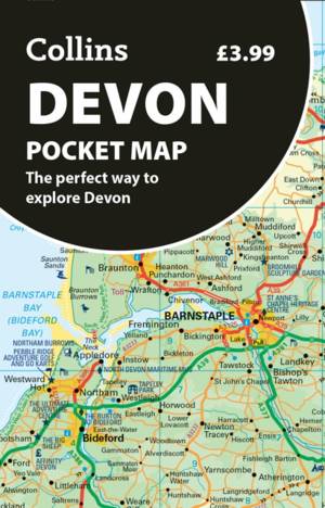
Devon Pocket Map
- Gevouwen kaart
- Discover new places with handy pocket maps from Collins. Lees meer
€ 5,95Pre-order nu, verschijnt op 12/03/2026€ 5,95Pre-order nu, verschijnt op 12/03/2026 -
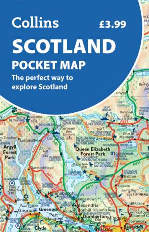
Scotland Pocket Map
- Gevouwen kaart
- Discover new places with handy pocket maps from Collins. Lees meer
€ 5,95Pre-order nu, verschijnt op 12/03/2026€ 5,95Pre-order nu, verschijnt op 12/03/2026 -
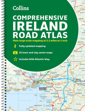
Comprehensive Road Atlas Ireland
Collins Maps
- Met spiraalrug | Engels
- A clear, detailed road atlas of Ireland in a handy A4 spiral-bound format. This comprehensive, general purpose road atlas of the whole of Ireland is i... Lees meer
€ 13,95Levering 1 à 2 weken€ 13,95Levering 1 à 2 weken -
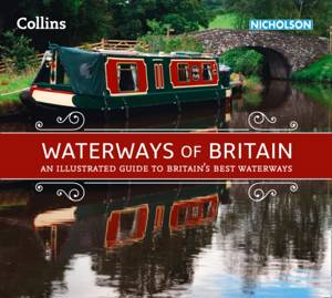
Waterways of Britain
Collins Maps
- Paperback | Collins Nicholson Waterways Guides
- Exploring Britain's most beautiful waterways. Discover a hidden countryside which is packed with wildlife along with industrial heritage. Lees meer
€ 23,95Levering 1 à 2 weken€ 23,95Levering 1 à 2 weken