Je cadeautjes zeker op tijd in huis hebben voor de feestdagen? Kom langs in onze winkels en vind het perfecte geschenk!
- Afhalen na 1 uur in een winkel met voorraad
- Gratis thuislevering in België vanaf € 30
- Ruim aanbod met 7 miljoen producten
Je cadeautjes zeker op tijd in huis hebben voor de feestdagen? Kom langs in onze winkels en vind het perfecte geschenk!
- Afhalen na 1 uur in een winkel met voorraad
- Gratis thuislevering in België vanaf € 30
- Ruim aanbod met 7 miljoen producten
Zoeken
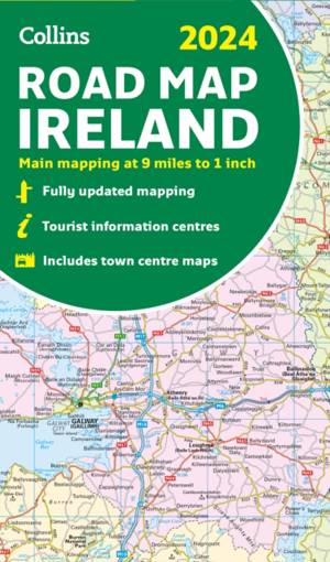
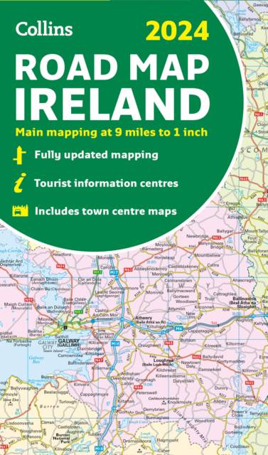
2024 Collins Road Map of Ireland
Folded Road Map
Gevouwen kaart
€ 11,95
+ 23 punten
Omschrijving
Discover new places with fully updated road atlases from Collins. Full-colour map of Ireland at 9 miles to 1 inch (1:570,240), with clear, detailed road network and counties and new administrative areas shown in colour. This double-sided map covers the whole of Ireland, and is ideal for reference or route planning.
Specificaties
Betrokkenen
- Auteur(s):
- Uitgeverij:
Inhoud
- Aantal bladzijden:
- 2
- Reeks:
Eigenschappen
- Productcode (EAN):
- 9780008607111
- Verschijningsdatum:
- 13/04/2023
- Uitvoering:
- Gevouwen kaart
- Afmetingen:
- 228 mm x 135 mm
- Gewicht:
- 100 g

Alleen bij Standaard Boekhandel
+ 23 punten op je klantenkaart van Standaard Boekhandel
Beoordelingen
We publiceren alleen reviews die voldoen aan de voorwaarden voor reviews. Bekijk onze voorwaarden voor reviews.


