- Afhalen na 1 uur in een winkel met voorraad
- Gratis thuislevering in België vanaf € 30
- Ruim aanbod met 7 miljoen producten
- Afhalen na 1 uur in een winkel met voorraad
- Gratis thuislevering in België vanaf € 30
- Ruim aanbod met 7 miljoen producten
Omschrijving
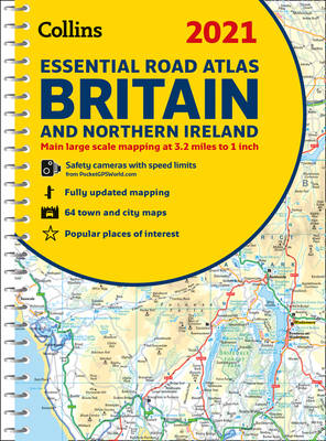
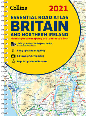
This atlas with popular lie-flat binding features clear, detailed road mapping, at a scale of 3.2 miles to 1 inch (1:200,000) for England, Wales and Southern Scotland and at 4.2 miles to 1 inch (1:266,000) in Northern Scotland, with land height shown by attractive layer coloring. Route planning section including maps at a scale of 22 miles to 1 inch. 26 urban area approach maps at a larger scale. 64 street maps focused on town centers. Over 30 categories of places of interest including castles, theme parks, sports venues, universities, mountain bike trails and surfing beaches. Top 1000 most visited places of interest are indexed.
Specificaties
Betrokkenen
- Auteur(s):
- Uitgeverij:
Inhoud
- Aantal bladzijden:
- 336
- Taal:
- Engels
- Reeks:
Eigenschappen
- Productcode (EAN):
- 9780008374389
- Verschijningsdatum:
- 1/09/2020
- Uitvoering:
- Met spiraalrug
- Afmetingen:
- 210 mm x 297 mm
- Gewicht:
- 1002 g

Alleen bij Standaard Boekhandel
Beoordelingen
We publiceren alleen reviews die voldoen aan de voorwaarden voor reviews. Bekijk onze voorwaarden voor reviews.


