- Afhalen na 1 uur in een winkel met voorraad
- Gratis thuislevering in België vanaf € 30
- Ruim aanbod met 7 miljoen producten
- Afhalen na 1 uur in een winkel met voorraad
- Gratis thuislevering in België vanaf € 30
- Ruim aanbod met 7 miljoen producten
Omschrijving
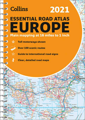
Up-to-date spiral bound road atlas of Europe. Contains clear, large-scale, detailed road mapping, perfect for touring the Mediterranean, Iberian peninsula, Scandinavia and all European tourist destinations. Scale of main maps 1:1,000,000 (1 cm to 10 km / 1 inch to 16 miles). Euroroutes and motorways are easily distinguished. The maps also show international road classifications, road distances in kilometers and relief is shown by attractive layer tints. Guide to international road signs, route maps of 64 major cities, more detailed road maps extending from Amsterdam to Munich. Mapping extends from the North Cape (Norway) to Gibraltar and from Ireland to east of Moscow. Includes Iceland and Cyprus.
Specificaties
Betrokkenen
- Auteur(s):
- Uitgeverij:
Inhoud
- Aantal bladzijden:
- 292
- Taal:
- Engels
- Reeks:
Eigenschappen
- Productcode (EAN):
- 9780008374334
- Verschijningsdatum:
- 1/09/2020
- Uitvoering:
- Met spiraalrug
- Afmetingen:
- 210 mm x 298 mm
- Gewicht:
- 764 g

Alleen bij Standaard Boekhandel
Beoordelingen
We publiceren alleen reviews die voldoen aan de voorwaarden voor reviews. Bekijk onze voorwaarden voor reviews.


