Bedankt voor het vertrouwen het afgelopen jaar! Om jou te bedanken bieden we GRATIS verzending (in België) aan op alles gedurende de hele maand januari.
- Afhalen na 1 uur in een winkel met voorraad
- Gratis thuislevering in België
- Ruim aanbod met 7 miljoen producten
Bedankt voor het vertrouwen het afgelopen jaar! Om jou te bedanken bieden we GRATIS verzending (in België) aan op alles gedurende de hele maand januari.
- Afhalen na 1 uur in een winkel met voorraad
- Gratis thuislevering in België
- Ruim aanbod met 7 miljoen producten
Zoeken
Resultaten voor "Geographers' A-Z Map Company"
-
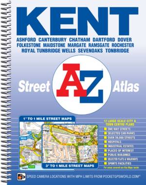
Kent County Atlas
Geographers' A-Z Map Company
- Met spiraalrug
- This A-Z map of Kent is a full colour, spiral bound street atlas featuring complete countywide coverage in one volume. The atlas contains 234 pages of... Lees meer
€ 18,45Levering 1 à 2 weken€ 18,45Levering 1 à 2 weken -
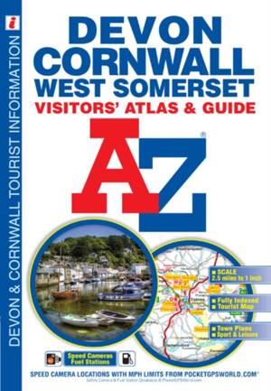
Devon, Cornwall & West Somerset A-Z Visitors' Atlas
Geographers' A-Z Map Co Ltd
- Paperback | Engels | A-Z Street Maps & Atlases S
- This full colour atlas of Devon, Cornwall and West Somerset combines 32 pages of road mapping with an illustrated town plan section to provide an info... Lees meer
€ 9,95Levering 1 à 2 weken€ 9,95Levering 1 à 2 weken -
Lake District (Southern Fells) Adventure Atlas
Geographers' A-Z Map Company
- Paperback | A-Z Adventure Atlas
- This A-Z Adventure Atlas of the Lake District Southern Fells features 60 pages of continuous Ordnance Survey mapping covering; Lake District National ... Lees meer
€ 11,45Levering 1 à 2 weken€ 11,45Levering 1 à 2 weken -
Isle of Wight Visitors Map
- Gevouwen kaart
- Lees meer
€ 9,45Levering 1 à 2 weken Afhalen in de winkel na 1 u.€ 9,45Levering 1 à 2 weken Afhalen in de winkel na 1 u. -
York Street Atlas
Geographers' A-Z Map Company
- Paperback
- This A-Z map of York features a places of interest guide and 56 pages of street mapping. Lees meer
€ 8,45Levering 1 à 2 weken€ 8,45Levering 1 à 2 weken -
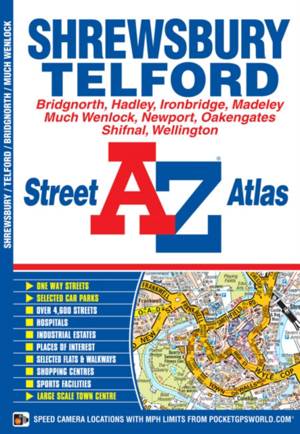
Shrewsbury and Telford Street Atlas
Geographers' A-Z Map Company
- Paperback | A-Z Street Atlas
- This atlas of Shrewsbury, Telford and Bridgnorth contains 42 pages of coloured street mapping. The Shrewsbury coverage extends to include:*Harlescott,... Lees meer
€ 6,95Levering 1 à 2 weken€ 6,95Levering 1 à 2 weken -
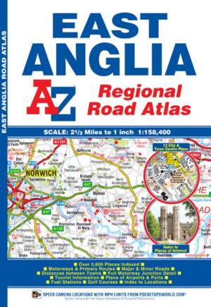
East Anglia Regional Road Atlas
Geographers' A-Z Map Company
- Paperback
- This A-Z map of East Anglia is a full colour regional road atlas featuring 39 pages of continuous road mapping extending from Grantham and Milton Keyn... Lees meer
€ 11,45Levering 1 à 2 weken€ 11,45Levering 1 à 2 weken -
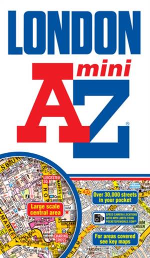
Mini London Street Atlas
Geographers' A-Z Map Company
- Paperback | London Street Atlases
- This pocket sized A-Z Mini map of Central London is a full colour, paperback street atlas. Lees meer
€ 8,45Levering 1 à 2 weken€ 8,45Levering 1 à 2 weken -
Devon & Cornwall Road Map
- Gevouwen kaart
- This A-Z map of Devon and Cornwall is a full colour, single sided, fold-out road map which covers both counties and extends to include; Weston-super-M... Lees meer
€ 10,45Levering 1 à 2 weken€ 10,45Levering 1 à 2 weken -
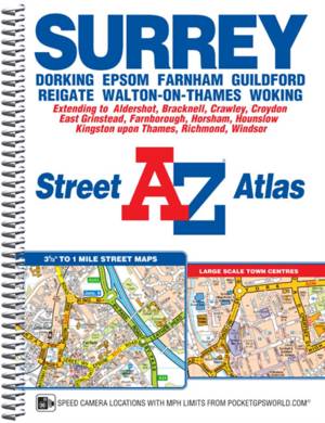
Surrey Street Atlas
Geographers' A-Z Map Company
- Met spiraalrug | A-Z Street Atlas S.
- This A-Z map of Surrey is a full colour, spiral bound, street atlas featuring 200 pages of continuous street mapping covering the whole of the adminis... Lees meer
€ 23,95Levering 1 à 2 weken€ 23,95Levering 1 à 2 weken -
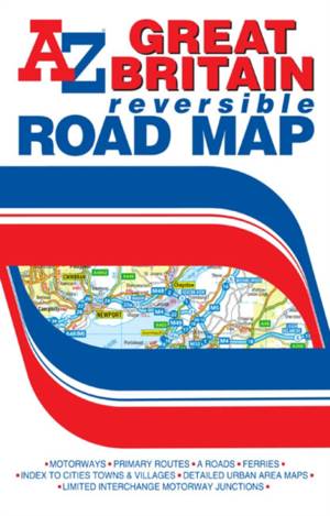
Great Britain Reversible Road Map
- Gevouwen kaart
- This A-Z map of Great Britain is a full colour, double-sided fold-out road map featuring:*Motorways, motorway service areas, primary routes and primar... Lees meer
€ 9,45Verwachte leverdatum onbekend€ 9,45Verwachte leverdatum onbekend -
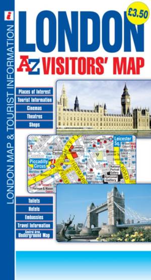
London
- Gevouwen kaart
- This A-Z London Visitors' Map of central London is a full colour, double-sided, fold-out visitors' map designed especially with the tourist in mind. T... Lees meer
€ 4,95Verwachte leverdatum onbekend€ 4,95Verwachte leverdatum onbekend -
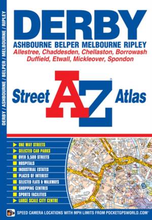
Derby Street Atlas
Geographers' A-Z Map Company
- Paperback | A-Z Street Atlas
- This atlas of Derby, Ashbourne, Belper, Melbourne and Ripley contains 50 pages of coloured street mapping. Lees meer
€ 6,95Verwachte leverdatum onbekend€ 6,95Verwachte leverdatum onbekend -
Edinburgh Premier Map
- Gevouwen kaart
- This A-Z map of Edinburgh is a full colour, single sided, fold-out street map with a large scale Edinburgh city centre map included. Postcode district... Lees meer
€ 9,45Verwachte leverdatum onbekend€ 9,45Verwachte leverdatum onbekend -
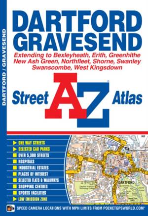
Dartford & Gravesend A-Z Street Atlas
Geographers' A-Z Map Co Ltd
- Paperback | Engels | A-Z Street Atlas S
- This street atlas of Dartford, Gravesend, Bexleyheath, Erith, Northfleet, Sidcup and Swanley features 30 pages of coloured mapping that extends to: -T... Lees meer
€ 6,95Verwachte leverdatum onbekend€ 6,95Verwachte leverdatum onbekend -
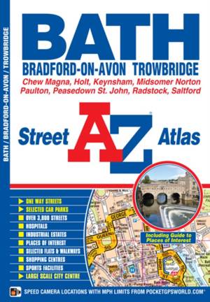
Bath Street Atlas
Geographers' A-Z Map Company
- Paperback | A-Z Street Atlas S.
- This street atlas of Bath, Bradford-on-Avon and Trowbridge has 42 pages of coloured street mapping and includes a guide to selected places of interest... Lees meer
€ 6,95Verwachte leverdatum onbekend€ 6,95Verwachte leverdatum onbekend -
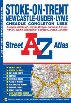
Stoke-on-Trent A-Z Street Atlas
Geographers' A-Z Map Company
- Paperback
- This A-Z map of Stoke-on-Trent and Newcastle-under-Lyme is a full colour street atlas featuring 38 pages of continuous street mapping which extends to... Lees meer
€ 7,95Verwachte leverdatum onbekend€ 7,95Verwachte leverdatum onbekend -
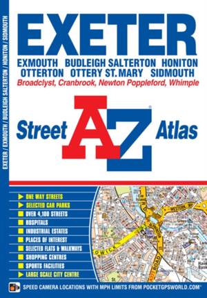
Exeter Street Atlas
Geographers' A-Z Map Company
- Paperback | A-Z Street Atlas S.
- This new A-Z map of Exeter, Exmouth, Budleigh Salterton, Sidmouth, Ottery St. Mary and Honiton is a full colour street atlas featuring 44 pages of str... Lees meer
€ 6,95Verwachte leverdatum onbekend€ 6,95Verwachte leverdatum onbekend -
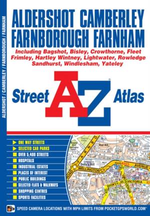
Aldershot Street Atlas
Geographers' A-Z Map Company
- Paperback
- This atlas of Aldershot, Camberley, Farnborough and Farnham has 48 pages of coloured street mapping that extends to include: Lees meer
€ 6,95Verwachte leverdatum onbekend€ 6,95Verwachte leverdatum onbekend -
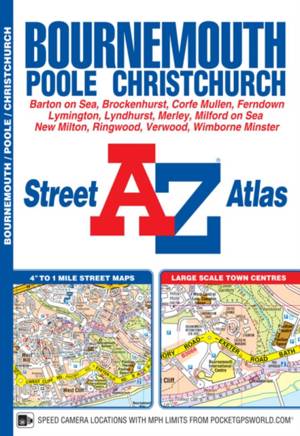
Bournemouth Street Atlas
Geographers' A-Z Map Company
- Paperback | A-Z Street Atlas
- This A-Z map of Bournemouth is a full colour street atlas featuring 63 pages of continuous street mapping to include:*Poole*Christchurch*Blashford*Rin... Lees meer
€ 8,45Verwachte leverdatum onbekend€ 8,45Verwachte leverdatum onbekend -
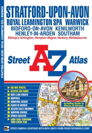
Stratford Upon Avon Street Atlas
Geographers' A-Z Map Company
- Paperback | A-Z Street Atlas S.
- This atlas of Stratford-upon-Avon, Warwick and Royal Leamington Spa features 35 pages of coloured street mapping. Lees meer
€ 6,95Verwachte leverdatum onbekend€ 6,95Verwachte leverdatum onbekend -
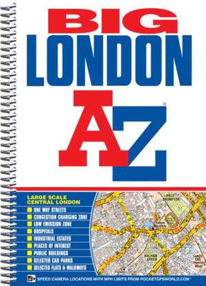
Big London Street Atlas
Geographers' A-Z Map Company
- Met spiraalrug | London Street Atlases
- This "Big Scale" spiral bound London street atlas extends to: Lees meer
€ 13,95Verwachte leverdatum onbekend€ 13,95Verwachte leverdatum onbekend -
Manchester Premier Map
- Gevouwen kaart
- This A-Z Premier map of Manchester is a full colour, single sided, fold-out street map covering the whole of the M60 orbital motorway and extending to... Lees meer
€ 9,95Verwachte leverdatum onbekend€ 9,95Verwachte leverdatum onbekend -
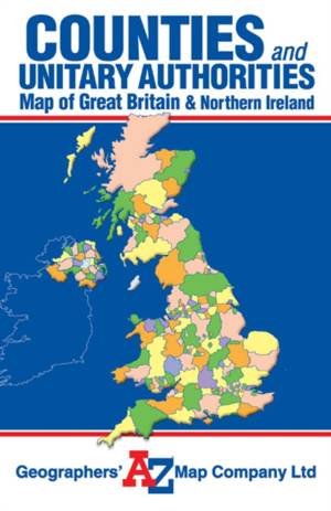
Great Britain Counties and Unitary Authorities Map
- Gevouwen kaart
- This single sided foldout map of Great Britain and Northern Ireland is designed to show counties and unitary authorities. Each county and unitary auth... Lees meer
€ 7,95Verwachte leverdatum onbekend€ 7,95Verwachte leverdatum onbekend


