
- Afhalen na 1 uur in een winkel met voorraad
- Gratis thuislevering in België vanaf € 30
- Ruim aanbod met 7 miljoen producten
- Afhalen na 1 uur in een winkel met voorraad
- Gratis thuislevering in België vanaf € 30
- Ruim aanbod met 7 miljoen producten


Omschrijving
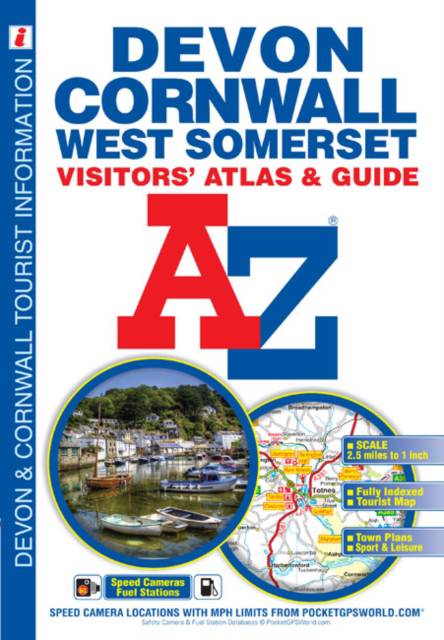
This full colour atlas of Devon, Cornwall and West Somerset combines 32 pages of road mapping with an illustrated town plan section to provide an informative atlas and guide.-The road map coverage includes the whole of Cornwall, Devon and the part of West Somerset that includes Exmoor, Minehead, Taunton, Bridgwater and Ilminster. Also included is an inset map of Lundy and a separate map of The Isles of Scilly with its own descriptive text. The locations of places of interest and tourist attractions are highlighted on the road mapping.-There are 24 town plans each with their own descriptive text, tourist information and listing of leisure attractions. The locations of places of interest and tourist attractions are highlighted on the town plans.-There is a section of descriptive text about Bodmin Moor, Dartmoor and Exmoor.-The index section includes a list of cities, towns, villages, hamlets and locations with a separate listing of selected places of interest and other features.
Specificaties
Betrokkenen
- Auteur(s):
- Illustrator(s):
- Uitgeverij:
Inhoud
- Aantal bladzijden:
- 80
- Taal:
- Engels
- Reeks:
Eigenschappen
- Productcode (EAN):
- 9781843486459
- Verschijningsdatum:
- 10/05/2019
- Uitvoering:
- Paperback
- Formaat:
- Trade paperback (VS)
- Afmetingen:
- 170 mm x 245 mm
- Gewicht:
- 168 g


Alleen bij Standaard Boekhandel
+ 19 punten op je klantenkaart van Standaard Boekhandel
E-BOOK ACTIE


Beoordelingen
We publiceren alleen reviews die voldoen aan de voorwaarden voor reviews. Bekijk onze voorwaarden voor reviews.