- Afhalen na 1 uur in een winkel met voorraad
- Gratis thuislevering in België vanaf € 30
- Ruim aanbod met 7 miljoen producten
- Afhalen na 1 uur in een winkel met voorraad
- Gratis thuislevering in België vanaf € 30
- Ruim aanbod met 7 miljoen producten
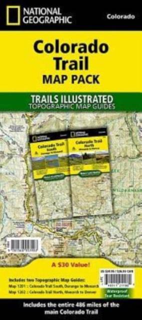
Colorado Trail [Map Pack Bundle]
Topographic Map Guides; Trails Illustrated Maps
Omschrijving
- Waterproof - Tear-Resistant - Topographic Maps
In a state known for its trails, The Colorado Trail is Colorado's premier long distance trail. Conceived in 1973 and completed in 1987, the trail runs 486 miles between Denver and Durango, traversing some of the most spectacular scenery in the state. This Map Pack combines the entire standard route into a single easy to purchase product.
The Colorado Trail Map Pack includes:
- Map 1201:: Colorado Trail South
- Map 1202:: Colorado Trail North
More convenient and easier to use than folded maps, but just as compact and lightweight, National Geographic's Topographic Map Guide booklets are printed on 'Backcountry Tough' waterproof, tear-resistant paper with stainless steel staples. A full UTM grid is printed on the map to aid with GPS navigation.
- Map Scale = 1:75,000
- Folded Size = 4.25" x 9.38"
Specificaties
Betrokkenen
- Auteur(s):
- Uitgeverij:
Inhoud
- Aantal bladzijden:
- 88
- Taal:
- Engels
- Reeks:
Eigenschappen
- Productcode (EAN):
- 9781566957403
- Verschijningsdatum:
- 25/07/2017
- Uitvoering:
- Gevouwen kaart
- Afmetingen:
- 114 mm x 246 mm
- Gewicht:
- 181 g

Alleen bij Standaard Boekhandel
Beoordelingen
We publiceren alleen reviews die voldoen aan de voorwaarden voor reviews. Bekijk onze voorwaarden voor reviews.


