
Je cadeautjes zeker op tijd in huis hebben voor de feestdagen? Kom langs in onze winkels en vind het perfecte geschenk!
- Afhalen na 1 uur in een winkel met voorraad
- Gratis thuislevering in België vanaf € 30
- Ruim aanbod met 7 miljoen producten
Je cadeautjes zeker op tijd in huis hebben voor de feestdagen? Kom langs in onze winkels en vind het perfecte geschenk!
- Afhalen na 1 uur in een winkel met voorraad
- Gratis thuislevering in België vanaf € 30
- Ruim aanbod met 7 miljoen producten


Resultaten voor "Mapping Science Committee"
-
A Research Agenda for Geographic Information Science at the United States Geological Survey
National Research Council, Division on Earth and Life Studies, Board on Earth Sciences and Resources, Mapping Science Committee, Committee on Research Priorities for the Usgs Center of Excellen
- Paperback | Engels
- Comprehensive and authoritative baseline geospatial data content is crucial to the nation and to the U.S. Geological Survey (USGS). The USGS founded i... Lees meer
€ 78,95Verwachte beschikbaarheidsdatum onbekend€ 78,95Verwachte beschikbaarheidsdatum onbekend -
New Research Directions for the National Geospatial-Intelligence Agency
National Research Council, Division on Earth and Life Studies, Board on Earth Sciences and Resources, Mapping Science Committee, Steering Committee on New Research Directions for the National G
- Paperback | Engels
- The National Geospatial-Intelligence Agency (NGA) within the Department of Defense has the primary mission of providing timely, relevant, and accurate... Lees meer
€ 42,95Verwachte beschikbaarheidsdatum onbekend€ 42,95Verwachte beschikbaarheidsdatum onbekend -
Weaving a National Map
National Research Council, Division on Earth and Life Studies, Board on Earth Sciences and Resources, Mapping Science Committee, Committee to Review the U S Geological Survey Concept of the Nat
- Paperback | Engels
- Weaving a National Map draws on contributions to a September 2002 workshop and the U.S. Geological Survey's (USGS) "vision" document for The National ... Lees meer
€ 78,95Verwachte leverdatum onbekend€ 78,95Verwachte leverdatum onbekend -
A Geospatial Framework for the Coastal Zone
National Research Council, Division on Earth and Life Studies, Ocean Studies Board, Mapping Science Committee, Committee on National Needs for Coastal Mapping and Charting
- Paperback | Engels
- The coastal zone is of enormous importance to the well-being of the nation, as our lives and economy are inextricably linked to the features and activ... Lees meer
€ 60,95Verwachte leverdatum onbekend€ 60,95Verwachte leverdatum onbekend -
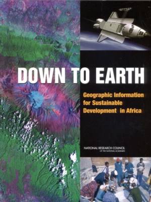
Down to Earth
National Research Council, Division on Earth and Life Studies, Board on Earth Sciences and Resources, Mapping Science Committee, Committee on Geography, Committee on the Geographic Foundation for Agenda 21
- Paperback
- This text summarizes the applicability of geographic data for sustainable development and draws on experiences in African countries to examine how fut... Lees meer
€ 78,95Verwachte beschikbaarheidsdatum onbekend€ 78,95Verwachte beschikbaarheidsdatum onbekend -
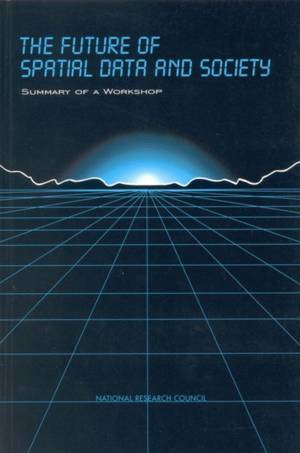
The Future of Spatial Data and Society
National Research Council, Division on Earth and Life Studies, Commission on Geosciences Environment and Resources, Mapping Science Committee
- Hardcover | Engels | Compass Series
- Public and private institutions are committing resources and making important long-term decisions concerning the collection, management, and use of sp... Lees meer
€ 69,95Verwachte leverdatum onbekend€ 69,95Verwachte leverdatum onbekend -
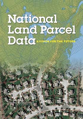
National Land Parcel Data
National Research Council, Division on Earth and Life Studies, Board on Earth Sciences and Resources, Mapping Science Committee, Committee on Land Parcel Databases a National Vision
- Paperback | Engels
- Land parcel data (also known as cadastral data) provide geographically referenced information about the rights, interests, and ownership of land and a... Lees meer
€ 102,45Verwachte beschikbaarheidsdatum onbekend€ 102,45Verwachte beschikbaarheidsdatum onbekend -
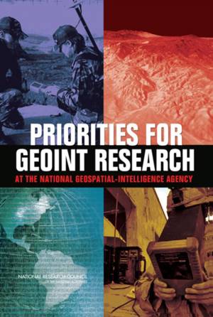
Priorities for Geoint Research at the National Geospatial-Intelligence Agency
National Research Council, Division on Earth and Life Studies, Board on Earth Sciences and Resources, Mapping Science Committee, Committee on Basic and Applied Research Priorities in Geospatial
- Paperback | Engels
- The National Geospatial-Intelligence Agency (NGA) provides geospatial intelligence (GEOINT) to support national security, both as a national intellige... Lees meer
€ 74,45Verwachte beschikbaarheidsdatum onbekend€ 74,45Verwachte beschikbaarheidsdatum onbekend -
Successful Response Starts with a Map
National Research Council, Division on Earth and Life Studies, Board on Earth Sciences and Resources, Mapping Science Committee, Committee on Planning for Catastrophe a Blueprint for Improving
- Paperback | Engels
- In the past few years the United States has experienced a series of disasters, such as Hurricane Katrina in 2005, which have severely taxed and in man... Lees meer
€ 74,45Verwachte beschikbaarheidsdatum onbekend€ 74,45Verwachte beschikbaarheidsdatum onbekend -
Promoting the National Spatial Data Infrastructure Through Partnerships
National Research Council, Division on Earth and Life Studies, Commission on Geosciences Environment and Resources, Mapping Science Committee
- Paperback | Engels
- Cooperation and partnerships for spatial data activities among the federal government, state and local governments, and the private sector will be ess... Lees meer
€ 65,45Verwachte leverdatum onbekend€ 65,45Verwachte leverdatum onbekend -

Advancing Strategic Science
National Research Council, Division on Earth and Life Studies, Board on Earth Sciences and Resources, Mapping Science Committee, Committee on Spatial Data Enabling Usgs Strategic Science in the
- Paperback | Engels
- Science is increasingly driven by data, and spatial data underpin the science directions laid out in the 2007 U.S. Geological Survey (USGS) Science St... Lees meer
€ 59,45Verwachte beschikbaarheidsdatum onbekend€ 59,45Verwachte beschikbaarheidsdatum onbekend -
Toward a Coordinated Spatial Data Infrastructure for the Nation
National Research Council, Division on Earth and Life Studies, Commission on Geosciences Environment and Resources, Mapping Science Committee
- Paperback | Engels
- The National Spatial Data Infrastructure (NSDI) is the means to assemble geographic information that describes the arrangement and attributes of featu... Lees meer
€ 66,95Verwachte leverdatum onbekend€ 66,95Verwachte leverdatum onbekend
12 van 12 resultaten getoond