
- Afhalen na 1 uur in een winkel met voorraad
- Gratis thuislevering in België vanaf € 30
- Ruim aanbod met 7 miljoen producten
- Afhalen na 1 uur in een winkel met voorraad
- Gratis thuislevering in België vanaf € 30
- Ruim aanbod met 7 miljoen producten


William Faden and Norfolk's 18th-Century Landscape
A Digital Re-Assessment of his Historic Map
Andrew Macnair, Tom Williamson
Boek | Engels
€ 50,45
+ 100 punten
Omschrijving
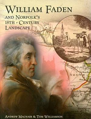
William Faden's map of Norfolk, published in 1797, was one of a large number of surveys of English counties produced in the second half of the eighteenth century. This book, with accompanying DVD, presents a new digital version of the map, and explains how this can be interrogated to produce a wealth of new historical information. It discusses the making of the Norfolk map, and Faden's own career, within the wider context of the eighteenth-century "cartographic revolution". It explores what the map, and others like it, can tell us about contemporary social and economic geography. But it also shows how, carefully examined, the map can also inform us about the development of the Norfolk landscape in much more remote periods of time. The book includes a digital version of the map, on DVD. Andrew Macnair is Research Fellow at the School of History in the University of East Anglia; Tom Williamson is Professor of History and Head of the Landscape Group at the University of East Anglia.
Specificaties
Betrokkenen
- Auteur(s):
- Uitgeverij:
Inhoud
- Aantal bladzijden:
- 216
- Taal:
- Engels
Eigenschappen
- Productcode (EAN):
- 9781905119349
- Verschijningsdatum:
- 23/10/2010
- Uitvoering:
- Boek
- Afmetingen:
- 185 mm x 244 mm
- Gewicht:
- 703 g


Alleen bij Standaard Boekhandel
+ 100 punten op je klantenkaart van Standaard Boekhandel
E-BOOK ACTIE


Beoordelingen
We publiceren alleen reviews die voldoen aan de voorwaarden voor reviews. Bekijk onze voorwaarden voor reviews.