
- Afhalen na 1 uur in een winkel met voorraad
- Gratis thuislevering in België vanaf € 30
- Ruim aanbod met 7 miljoen producten
- Afhalen na 1 uur in een winkel met voorraad
- Gratis thuislevering in België vanaf € 30
- Ruim aanbod met 7 miljoen producten


€ 21,95
+ 43 punten
Omschrijving
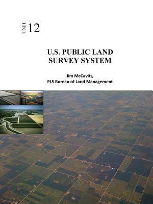
The United States Public Land Survey System (PLSS) began with the Land Ordinance of 1785. The ordinance provided for the systematic survey and monumentation of the federal lands into townships and sections. The system was largely put in place by 1805, with only minor refinements being made from time to time thereafter. The surveys in California were initiated in 1851, shortly after statehood. The intent of the system was to survey and monument the western lands prior to patenting the lands to private citizens. The surveyed sections provided standard sized and shaped parcels of land, interrelated by reference to townships and initial points. Simple aliquot part descriptions, dividing sections into halves and fourths ad infinitum, were all that were necessary to describe with certainty a parcel of land.
Specificaties
Betrokkenen
- Auteur(s):
- Uitgeverij:
Inhoud
- Aantal bladzijden:
- 34
- Taal:
- Engels
Eigenschappen
- Productcode (EAN):
- 9781365076442
- Verschijningsdatum:
- 27/04/2016
- Uitvoering:
- Paperback
- Formaat:
- Trade paperback (VS)
- Afmetingen:
- 216 mm x 279 mm
- Gewicht:
- 104 g


Alleen bij Standaard Boekhandel
+ 43 punten op je klantenkaart van Standaard Boekhandel
E-BOOK ACTIE


Beoordelingen
We publiceren alleen reviews die voldoen aan de voorwaarden voor reviews. Bekijk onze voorwaarden voor reviews.