- Afhalen na 1 uur in een winkel met voorraad
- Gratis thuislevering in België vanaf € 30
- Ruim aanbod met 7 miljoen producten
- Afhalen na 1 uur in een winkel met voorraad
- Gratis thuislevering in België vanaf € 30
- Ruim aanbod met 7 miljoen producten
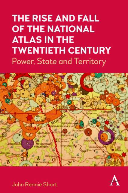
The Rise and Fall of the National Atlas in the Twentieth Century
Power, State and Territory
John Rennie ShortOmschrijving
The publication of the National Atlas of Finland in 1899 marks the beginning of the era of the modern national atlas. It is a period that coincides neatly with the twentieth century. The modern national atlas mirrors and embodies some of the important themes of this turbulent century, including the complex connections between nation, state and territory, the rise of state-sponsored science; the growth of nation-states; the geography of biopolitics.
Between 1900 and 2000, more than seventy countries produced a national atlas, an official or quasi-official rendering of the nation-state in maps and accompanying text. A useful working definition of a national atlas is "a generally comprehensive, officially sanctioned single-country atlas." This book considers the reasons behind and characteristics of this state-sponsored cartographic explosion. The changing form of the national atlas provides an intriguing window into the connections between science, state, territory and power.
The primary material for this study is a close reading of thirty-seven of these national atlases from countries across the world. They represent a wide range of countries from rich to poor, progressive to regressive, and capitalist to communist. In total, these atlases provide a range of different state arrangements and national experiences.
Specificaties
Betrokkenen
- Auteur(s):
- Uitgeverij:
Inhoud
- Aantal bladzijden:
- 182
- Taal:
- Engels
Eigenschappen
- Productcode (EAN):
- 9781839983030
- Verschijningsdatum:
- 12/07/2022
- Uitvoering:
- Hardcover
- Formaat:
- Genaaid
- Afmetingen:
- 152 mm x 229 mm
- Gewicht:
- 412 g

Alleen bij Standaard Boekhandel
Beoordelingen
We publiceren alleen reviews die voldoen aan de voorwaarden voor reviews. Bekijk onze voorwaarden voor reviews.


