
- Afhalen na 1 uur in een winkel met voorraad
- Gratis thuislevering in België vanaf € 30
- Ruim aanbod met 7 miljoen producten
- Afhalen na 1 uur in een winkel met voorraad
- Gratis thuislevering in België vanaf € 30
- Ruim aanbod met 7 miljoen producten


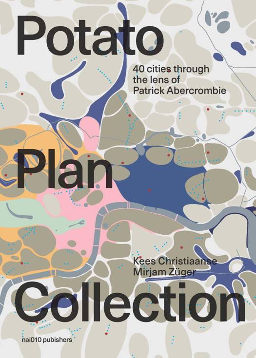
The Potato Plan Collection E-BOOK
40 Cities through the Lens of Patrick Abercrombie
Mirjam Züger a.o., Kees Christiaanse
E-book | Engels
€ 34,95
+ 34 punten
Omschrijving
This book celebrates Patrick Abercrombie's famous 'Potato Plan' and reveals its potential as an analytical tool for contemporary urban territories. Originally drawn in 1943 as part of the County of London Plan, Abercrombie's Social and Functional Analysis Map poetically illustrates the city as an agglomeration of manifold neighbourhoods, character areas and centralities.
This book gathers together 40 specific 'Potato Plans' from various metropolises all over the globe that were drawn and interpreted by local architects, urban designers and schools of architecture.
The aim is to investigate the nature of neighbourhoods and centralities and their role in cities with different configurations and properties. By doing so, the book presents an updated depiction of contemporary urban analysis, inspired by the great Patrick Abercrombie.
Specificaties
Betrokkenen
- Auteur(s):
- Uitgeverij:
Inhoud
- Aantal bladzijden:
- 107
- Taal:
- Engels
Eigenschappen
- Productcode (EAN):
- 9789462084469
- Verschijningsdatum:
- 6/06/2018
- Uitvoering:
- E-book
- Beveiligd met:
- Digital watermarking
- Formaat:


Alleen bij Standaard Boekhandel
+ 34 punten op je klantenkaart van Standaard Boekhandel
E-BOOK ACTIE


Beoordelingen
We publiceren alleen reviews die voldoen aan de voorwaarden voor reviews. Bekijk onze voorwaarden voor reviews.