- Afhalen na 1 uur in een winkel met voorraad
- Gratis thuislevering in België vanaf € 30
- Ruim aanbod met 7 miljoen producten
- Afhalen na 1 uur in een winkel met voorraad
- Gratis thuislevering in België vanaf € 30
- Ruim aanbod met 7 miljoen producten
Omschrijving
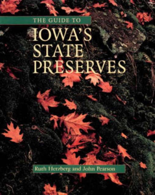
The Iowa state preserves system was created in 1965; a decade later, thirty preserves had been dedicated, including "six native prairies, a native White Pine stand, the state's only Sphagnum bog, a Balsam Fir stand, some of the oldest exposed rock outcrops in the world, an ancient fort, a fen, several Indian mound groups and a historical cemetery." This new guide to all ninety Iowa state preserves--biological, geological, archaeological, historical, and scenic--describes the state's most treasured prairies and forests, quartzite outcrops and ice caves, and Indian mounds and wetlands as well as such historic sites as Fort Atkinson and Montauk.
Each entry includes two-color, progressively scaled maps giving the location of the preserve within the state, within its county, relative to a nearby town (with a recommended driving route), and on the local landscape (using USGS 7.5-minute topo maps). Also included are written directions (using 911 street names and signs); a description of the preserve's size, features, and history; a list of nearby or similar preserves, parks, natural areas, and other attractions; recommended readings; and contact information. (There are a few exceptions for privately owned or fragile preserves.) For travelers, a map in the introduction numbers all the preserves both geographically and alphabetically by name.
Although the preserves system emphasizes preservation rather than recreation, some preserves do have formal trails; some allow hunting, horseback riding, and canoeing; a few have museums or nature centers. This comprehensive guide allows visitors to plan active and informative visits to sites that highlight Iowa's natural and cultural heritage.
Specificaties
Betrokkenen
- Auteur(s):
- Uitgeverij:
Inhoud
- Aantal bladzijden:
- 214
- Taal:
- Engels
- Reeks:
Eigenschappen
- Productcode (EAN):
- 9780877457749
- Verschijningsdatum:
- 1/12/2001
- Uitvoering:
- Paperback
- Formaat:
- Trade paperback (VS)
- Afmetingen:
- 214 mm x 280 mm
- Gewicht:
- 548 g

Alleen bij Standaard Boekhandel
Beoordelingen
We publiceren alleen reviews die voldoen aan de voorwaarden voor reviews. Bekijk onze voorwaarden voor reviews.


