Bedankt voor het vertrouwen het afgelopen jaar! Om jou te bedanken bieden we GRATIS verzending (in België) aan op alles gedurende de hele maand januari.
- Afhalen na 1 uur in een winkel met voorraad
- In januari gratis thuislevering in België
- Ruim aanbod met 7 miljoen producten
Bedankt voor het vertrouwen het afgelopen jaar! Om jou te bedanken bieden we GRATIS verzending (in België) aan op alles gedurende de hele maand januari.
- Afhalen na 1 uur in een winkel met voorraad
- In januari gratis thuislevering in België
- Ruim aanbod met 7 miljoen producten
Zoeken
Omschrijving
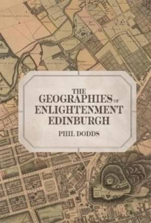
Edinburgh in the eighteenth century was one of the great cities of the Enlightenment. Its citizens were confident in setting standards by which other societies were to be judged. This book explores the processes by which the people of Edinburgh came to understand and order their world and establish those scales of judgement through the acquisition of geographic knowledge. It uses the extraordinarily rich archive of one of the major Edinburgh booksellers toidentify not only the most popular books and cartographic materials of the time, but also the authors who produced them and the customers who bought them. Some of these people have left records of their own, and through them it is possible to see in intimate detail how this material was read and used. Moving through widening spheres and different types of practical and intellectual geographical engagement, Dodds looks at the processes of planning that went into the creation of Edinburgh New Town; the surveys which at the same time mapped and transformed the surrounding countryside, linking it physically and intellectually to the increasingly powerful city; the rise of the travelogue, through which the remoter regions of the Highlands were both assimilated into the urban imagination and opened up for actual tourism; and finally at the developing genre of geographical reference - "grammars" and encyclopaedias which brought together existing knowledge of the wider world for study and recreation and helped to form the intellectual background to the processes of colonization and global exploitation in the years that followed. In its ability to connect the broader, global processes of Enlightenment to intimate accounts of its production and reception, this book makes a unique contribution to our understanding of the world of the Scottish Enlightenment and provides a base from which the arguments and legacies of Enlightenment more generally can be contested and denaturalized.
PHIL DODDS completed his PhD at the University of Edinburgh.
PHIL DODDS completed his PhD at the University of Edinburgh.
Specificaties
Betrokkenen
- Auteur(s):
- Uitgeverij:
Inhoud
- Aantal bladzijden:
- 384
- Taal:
- Engels
- Reeks:
- Reeksnummer:
- nr. 11
Eigenschappen
- Productcode (EAN):
- 9781783277032
- Verschijningsdatum:
- 20/05/2022
- Uitvoering:
- Hardcover
- Formaat:
- Genaaid
- Afmetingen:
- 156 mm x 234 mm
- Gewicht:
- 707 g

Alleen bij Standaard Boekhandel
+ 515 punten op je klantenkaart van Standaard Boekhandel
Beoordelingen
We publiceren alleen reviews die voldoen aan de voorwaarden voor reviews. Bekijk onze voorwaarden voor reviews.


