- Afhalen na 1 uur in een winkel met voorraad
- Gratis thuislevering in België vanaf € 30
- Ruim aanbod met 7 miljoen producten
- Afhalen na 1 uur in een winkel met voorraad
- Gratis thuislevering in België vanaf € 30
- Ruim aanbod met 7 miljoen producten
Zoeken
€ 93,45
+ 186 punten
Uitvoering
Omschrijving
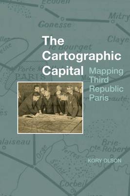
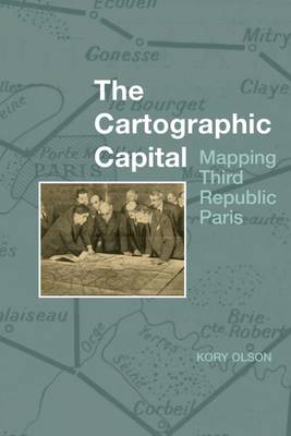
Through official maps, this book looks at how government presentations of Paris and environs change over the course of the Third Republic (1889-1934). Governmental policies, such as the creation of a mandatory national uniform educational system that will eventually include geography, combined with technological advances in the printing industry, to alter the look, exposure, reception, and distribution of government maps. The government initially seemed to privilege an exclusively positive view of the capital city and limited its presentation of it to land inside the walled fortifications. However, as the Republic progressed and Paris grew, technology altered how Parisians used and understood their urban space. Rail and automobiles made moving about the city and environs easier while increased industrialization moved factories and their workers further out into the Seine Department. During this time, maps transitioned from reflecting the past to documenting the present. With the advent of French urbanism after World War I, official mapped views of greater Paris abandoned privileging past achievements and began to mirror actual residential and industrial development as it pushed further out from the city centre. Finally, the government needed to plan for the future of greater Paris and official maps begin to show how the government viewed the direction of its capital city.
Specificaties
Betrokkenen
- Auteur(s):
- Uitgeverij:
Inhoud
- Aantal bladzijden:
- 320
- Taal:
- Engels
- Reeks:
- Reeksnummer:
- nr. 1
Eigenschappen
- Productcode (EAN):
- 9781800855854
- Verschijningsdatum:
- 1/09/2021
- Uitvoering:
- Paperback
- Formaat:
- Trade paperback (VS)
- Afmetingen:
- 156 mm x 234 mm
- Gewicht:
- 449 g

Alleen bij Standaard Boekhandel
+ 186 punten op je klantenkaart van Standaard Boekhandel
Beoordelingen
We publiceren alleen reviews die voldoen aan de voorwaarden voor reviews. Bekijk onze voorwaarden voor reviews.


