- Afhalen na 1 uur in een winkel met voorraad
- Gratis thuislevering in België vanaf € 30
- Ruim aanbod met 7 miljoen producten
- Afhalen na 1 uur in een winkel met voorraad
- Gratis thuislevering in België vanaf € 30
- Ruim aanbod met 7 miljoen producten
Zoeken
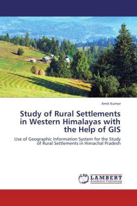
Study of Rural Settlements in Western Himalayas with the Help of GIS
Use of Geographic Information System for the Study of Rural Settlements in Himachal Pradesh
Amit Kumar
Paperback | Engels
€ 48,45
+ 96 punten
Omschrijving
The study of settlements has been one of the most significant themes in human geography. It is a symbol of man's occupancy and serves a link between the man and the physical environment Geographers study rural settlement as a unit. Their distributional patterns help in analyzing the sequence of change in cultural landscape. They affect spatial distribution of land use within the settlement.The centre of interest in the study of settlements is the built up structure and its relation to the physical environment. In the beginning these settlement features bear simpler forms and relationship with the environment, but with the growth of civilization and technical knowledge the degree of complexities in their relationships become greater.GIS is very important tool for the study of geographic phenomena on surface of earth. GIS and remote sensing techniques are quite developed and operational to implement such a proposed strategy. The spatial patterns of Settlement on temporal scale is studied and analysed using the satellite imageries and cadastral data from Survey of India, mapped, monitored and accurately assessed from satellite data along with conventional ground data.
Specificaties
Betrokkenen
- Auteur(s):
- Uitgeverij:
Inhoud
- Aantal bladzijden:
- 108
- Taal:
- Engels
Eigenschappen
- Productcode (EAN):
- 9783659232657
- Verschijningsdatum:
- 5/09/2012
- Uitvoering:
- Paperback
- Formaat:
- Trade paperback (VS)
- Afmetingen:
- 152 mm x 229 mm
- Gewicht:
- 167 g

Alleen bij Standaard Boekhandel
+ 96 punten op je klantenkaart van Standaard Boekhandel
Beoordelingen
We publiceren alleen reviews die voldoen aan de voorwaarden voor reviews. Bekijk onze voorwaarden voor reviews.


