Bedankt voor het vertrouwen het afgelopen jaar! Om jou te bedanken bieden we GRATIS verzending (in België) aan op alles gedurende de hele maand januari.
- Afhalen na 1 uur in een winkel met voorraad
- Gratis thuislevering in België vanaf € 30
- Ruim aanbod met 7 miljoen producten
Bedankt voor het vertrouwen het afgelopen jaar! Om jou te bedanken bieden we GRATIS verzending (in België) aan op alles gedurende de hele maand januari.
- Afhalen na 1 uur in een winkel met voorraad
- Gratis thuislevering in België vanaf € 30
- Ruim aanbod met 7 miljoen producten
Zoeken
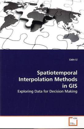
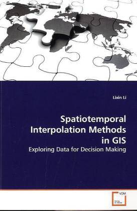
Spatiotemporal Interpolation Methods in GIS
Exploring Data for Decision Making
Lixin Li
Paperback | Engels
€ 71,95
+ 143 punten
Omschrijving
Exploring large data sets with the aim of extracting useful information for decision making can be challenging. If the data were collected at different locations and times, one important question is how to obtain reliable estimates for missing data in space or time. For example, measurements such as ozone concentrations are usually collected only by a limited number of monitoring stations and at different time instances. In order to estimate the values at unmeasured locations or time instances, interpolation in continuous space and time is needed. New and old interpolation methods for exploring spatiotemporal data are discussed in this book. The selected methods are useful for Geographic Information Systems (GIS). This book also includes comparisons of selected methods for several GIS case studies, as well as some visualization and query examples.
Specificaties
Betrokkenen
- Auteur(s):
- Uitgeverij:
Inhoud
- Aantal bladzijden:
- 120
- Taal:
- Engels
Eigenschappen
- Productcode (EAN):
- 9783639155570
- Verschijningsdatum:
- 14/06/2009
- Uitvoering:
- Paperback
- Formaat:
- Trade paperback (VS)
- Afmetingen:
- 152 mm x 229 mm
- Gewicht:
- 185 g

Alleen bij Standaard Boekhandel
+ 143 punten op je klantenkaart van Standaard Boekhandel
Beoordelingen
We publiceren alleen reviews die voldoen aan de voorwaarden voor reviews. Bekijk onze voorwaarden voor reviews.


