- Afhalen na 1 uur in een winkel met voorraad
- Gratis thuislevering in België vanaf € 30
- Ruim aanbod met 7 miljoen producten
- Afhalen na 1 uur in een winkel met voorraad
- Gratis thuislevering in België vanaf € 30
- Ruim aanbod met 7 miljoen producten
Zoeken
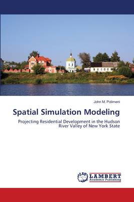
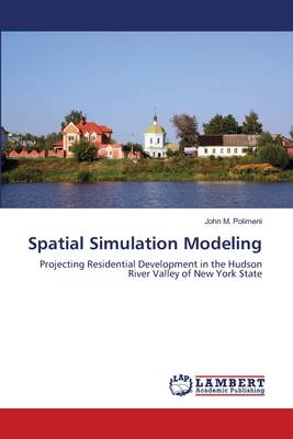
Spatial Simulation Modeling
Projecting Residential Development in the Hudson River Valley of New York State
John M Polimeni
Paperback | Engels
€ 58,45
+ 116 punten
Omschrijving
This book projects residential development in Hudson River Valley watersheds within Dutchess County in New York State using an integrated modeling framework consisting of a novel spatial econometric model, a geographic information system (GIS), and Monte Carlo simulation. A spatial econometric model is used to project residential development at the tributary watershed level, sub-watershed level, and census block level. GIS is employed to extract socio-economic and county-level tax parcel data to be used in conjunction with bio-geophysical attributes, such as slope, soil, and location attributes, to calculate and project growth trends on a residential level for undeveloped land parcels. Monte Carlo simulation is used to distribute these projections into the GIS to display dynamic development scenarios using regional maps to help policy-makers in their decision-making processes. Detailed case studies, consisting of several related scenarios, are used to present stakeholders the economic, social, and environmental implications of a possible course of action.
Specificaties
Betrokkenen
- Auteur(s):
- Uitgeverij:
Inhoud
- Aantal bladzijden:
- 140
- Taal:
- Engels
Eigenschappen
- Productcode (EAN):
- 9783659209840
- Verschijningsdatum:
- 15/08/2012
- Uitvoering:
- Paperback
- Formaat:
- Trade paperback (VS)
- Afmetingen:
- 152 mm x 229 mm
- Gewicht:
- 213 g

Alleen bij Standaard Boekhandel
+ 116 punten op je klantenkaart van Standaard Boekhandel
Beoordelingen
We publiceren alleen reviews die voldoen aan de voorwaarden voor reviews. Bekijk onze voorwaarden voor reviews.


