- Afhalen na 1 uur in een winkel met voorraad
- In januari gratis thuislevering in België
- Ruim aanbod met 7 miljoen producten
- Afhalen na 1 uur in een winkel met voorraad
- In januari gratis thuislevering in België
- Ruim aanbod met 7 miljoen producten
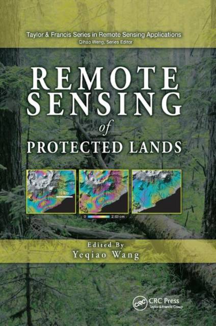
Remote Sensing of Protected Lands
Omschrijving
National parks, wildlife refuges and sanctuaries, natural reserves, conservation areas, frontier lands, and marine-protected areas are increasingly recognized as essential providers of ecosystem services and biological resources. As debates about climate change and sustainability intensify, protected areas become more important as indicators of ecosystem conditions in particular environments or in comparison with adjacent environments.
The first book of its kind, Remote Sensing of Protected Lands showcases state-of-the-art remote sensing applications for the inventory and monitoring of protected areas. Contributions from renowned scholars and experts from around the world are organized into four sections covering the use of remote sensing in:
- Changing landscapes and change detection
- Inventory, mapping, and conservation
- Inventory and monitoring of frontier lands
- Decision support for the management of protected lands
A View of Both the Forest and the Trees
Combining reviews of theories and methods with analysis of case studies, the book gives readers both a systematic view of the field and detailed knowledge of specific topics. Case studies explore key topics in the context of a wide range of protected areas, including national parks in the United States and Canada, the Albertine Rift in eastern Africa, the Amazon forests, the Changbai Mountain region in Northeast Asia, the frontier lands in Siberia and the Tibetan Plateau, and marine protected areas along the tropical and temperate Pacific and Atlantic coasts.
Alongside each case study, the book examines advanced remote sensing technologies such as airborne and spaceborne high spatial resolution imageries, multispectral and multitemporal time series data, satellite interferometric synthetic aperture radar (InSAR), and the integration of r
Specificaties
Betrokkenen
- Uitgeverij:
Inhoud
- Aantal bladzijden:
- 636
- Taal:
- Engels
- Reeks:
Eigenschappen
- Productcode (EAN):
- 9780367382124
- Verschijningsdatum:
- 18/10/2019
- Uitvoering:
- Paperback
- Formaat:
- Trade paperback (VS)
- Afmetingen:
- 156 mm x 234 mm
- Gewicht:
- 879 g

Alleen bij Standaard Boekhandel
Beoordelingen
We publiceren alleen reviews die voldoen aan de voorwaarden voor reviews. Bekijk onze voorwaarden voor reviews.


