- Afhalen na 1 uur in een winkel met voorraad
- Gratis thuislevering in België vanaf € 30
- Ruim aanbod met 7 miljoen producten
- Afhalen na 1 uur in een winkel met voorraad
- Gratis thuislevering in België vanaf € 30
- Ruim aanbod met 7 miljoen producten
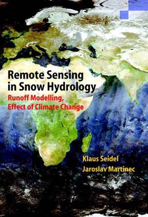
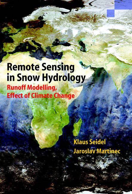
Remote Sensing in Snow Hydrology
Runoff Modelling, Effect of Climate Change
Klaus Seidel, Jaroslav MartinecOmschrijving
Initially, the role of snow and ice in the global water balance is assessed and methods of snow measurements are explained. Remote sensing is dealt with with regard to periodical snow cover mapping. Last advances and refinements refer to spatial resolution, cloud interference and separate monitoring of snow and glacier ice. Following a review of snow melt and runoff modelling, the Snowmelt Runoff Model (SRM) demonstrates the merits of remote sensing in snow hydrology by using the satellite data as a direct input variable. Applications in over 100 mountain basins around the world are documented, with surface areas ranging from 0.3 km2 to 900.000 km2. Based on runoff modelling, runoff forecasts are dealt with including seasonal and short term forecasts as well as computation of hydrographs from forecasted temperatures and precipitation. The climate change is becoming a major concern of our times. The effect of various climate scenarios on the seasonal snow cover and runoff is evaluated by the updated computer program which also enable the real-time runoff forecasts to be improved. As a final note, a method is outlined to predict the decline of glaciers in the warming climate.
Specificaties
Betrokkenen
- Auteur(s):
- Uitgeverij:
Inhoud
- Aantal bladzijden:
- 150
- Taal:
- Engels
- Reeks:
Eigenschappen
- Productcode (EAN):
- 9783642074172
- Verschijningsdatum:
- 10/04/2011
- Uitvoering:
- Paperback
- Formaat:
- Trade paperback (VS)
- Afmetingen:
- 175 mm x 249 mm
- Gewicht:
- 358 g

Alleen bij Standaard Boekhandel
Beoordelingen
We publiceren alleen reviews die voldoen aan de voorwaarden voor reviews. Bekijk onze voorwaarden voor reviews.


