Je cadeautjes zeker op tijd in huis hebben voor de feestdagen? Kom langs in onze winkels en vind het perfecte geschenk!
- Afhalen na 1 uur in een winkel met voorraad
- Gratis thuislevering in België vanaf € 30
- Ruim aanbod met 7 miljoen producten
Je cadeautjes zeker op tijd in huis hebben voor de feestdagen? Kom langs in onze winkels en vind het perfecte geschenk!
- Afhalen na 1 uur in een winkel met voorraad
- Gratis thuislevering in België vanaf € 30
- Ruim aanbod met 7 miljoen producten
Zoeken
€ 80,45
+ 160 punten
Uitvoering
Omschrijving
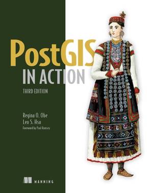
PostGIS in Action, Third Edition shows you how to solve real-world geodata problems. You'll go beyond basic mapping, and explore custom functions for your applications. Summary
In PostGIS in Action, Third Edition you will learn: An introduction to spatial databases
Geometry, geography, raster, and topology spatial types, functions, and queries
Applying PostGIS to real-world problems
Extending PostGIS to web and desktop applications
Querying data from external sources using PostgreSQL Foreign Data Wrappers
Optimizing queries for maximum speed
Simplifying geometries for greater efficiency PostGIS in Action, Third Edition teaches readers of all levels to write spatial queries for PostgreSQL. You'll start by exploring vector-, raster-, and topology-based GIS before quickly progressing to analyzing, viewing, and mapping data. This fully updated third edition covers key changes in PostGIS 3.1 and PostgreSQL 13, including parallelization support, partitioned tables, and new JSON functions that help in creating web mapping applications. Purchase of the print book includes a free eBook in PDF, Kindle, and ePub formats from Manning Publications. About the technology
PostGIS is a spatial database extender for PostgreSQL. It offers the features and firepower you need to take on nearly any geodata task. PostGIS lets you create location-aware queries with a few lines of SQL code, then build the backend for mapping, raster analysis, or routing application with minimal effort. About the book
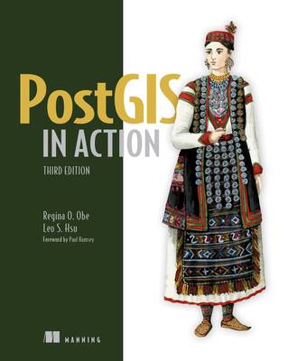
PostGIS in Action, Third Edition shows you how to solve real-world geodata problems. You'll go beyond basic mapping, and explore custom functions for your applications. Inside this fully updated edition, you'll find coverage of new PostGIS features such as PostGIS Window functions, parallelization of queries, and outputting data for applications using JSON and Vector Tile functions. What's inside Fully revised for PostGIS version 3.1 and PostgreSQL 13
Optimize queries for maximum speed
Simplify geometries for greater efficiency
Extend PostGIS to web and desktop applications About the reader
For readers familiar with relational databases and basic SQL. No prior geodata or GIS experience required. About the author
Regina Obe and Leo Hsu are database consultants and authors. Regina is a member of the PostGIS core development team and the Project Steering Committee. Table of Contents
PART 1 INTRODUCTION TO POSTGIS
1 What is a spatial database?
2 Spatial data types
3 Spatial reference systems
4 Working with real data
5 Using PostGIS on the desktop
6 Geometry and geography functions
7 Raster functions
8 Spatial relationships
PART 2 PUTTING POSTGIS TO WORK
9 Proximity analysis
10 PostGIS TIGER geocoder
11 Geometry and geography processing
12 Raster processing
13 Building and using topologies
14 Organizing spatial data
15 Query performance tuning
PART 3 USING POSTGIS WITH OTHER TOOLS
16 Extending PostGIS with pgRouting and procedural languages
17 Using PostGIS in web applications
Specificaties
Betrokkenen
- Auteur(s):
- Uitgeverij:
Inhoud
- Aantal bladzijden:
- 664
- Taal:
- Engels
Eigenschappen
- Productcode (EAN):
- 9781617296697
- Verschijningsdatum:
- 21/09/2021
- Uitvoering:
- Paperback
- Formaat:
- Trade paperback (VS)
- Afmetingen:
- 185 mm x 234 mm
- Gewicht:
- 1043 g

Alleen bij Standaard Boekhandel
+ 160 punten op je klantenkaart van Standaard Boekhandel
Beoordelingen
We publiceren alleen reviews die voldoen aan de voorwaarden voor reviews. Bekijk onze voorwaarden voor reviews.


