- Afhalen na 1 uur in een winkel met voorraad
- Gratis thuislevering in België vanaf € 30
- Ruim aanbod met 7 miljoen producten
- Afhalen na 1 uur in een winkel met voorraad
- Gratis thuislevering in België vanaf € 30
- Ruim aanbod met 7 miljoen producten
Omschrijving
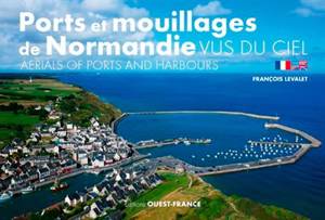
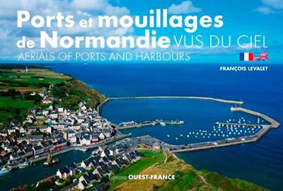
Redécouvrez les ports et mouillages des côtes normandes à travers de magnifiques photographies vues du ciel que François Levalet réalise avec son cerf-volant. Un survol poétique de plus de 40 sites - identifiés grâce à leurs coordonnées GPS -, des hautes falaises de la côte d'Albâtre aux grèves immenses de la baie du Mont-Saint-Michel, de Granville au Tréport... en passant par Port-en-Bessin et Honfleur.
Rediscover the ports and harbours found on the Normandy Coast with this journey of beautiful photographs taken by Francois Levalet and his kite. A poetic aerial view of over 40 locations - all identified thanks to their GPS coordinates -, from the elevating cliffs of the Alabaster coast, to the vast beaches of the Bay of Saint Michael's Mount, from Granville to Tréport.... Not forgetting Port-en-Bessin and Honfleur.
Specificaties
Betrokkenen
- Auteur(s):
- Vertaler(s):
- Uitgeverij:
Inhoud
- Aantal bladzijden:
- 144
- Taal:
- Frans, Engels
Eigenschappen
- Productcode (EAN):
- 9782737379161
- Verschijningsdatum:
- 8/03/2019
- Uitvoering:
- Paperback
- Afmetingen:
- 250 mm x 170 mm
- Gewicht:
- 586 g

Alleen bij Standaard Boekhandel
Beoordelingen
We publiceren alleen reviews die voldoen aan de voorwaarden voor reviews. Bekijk onze voorwaarden voor reviews.


