- Afhalen na 1 uur in een winkel met voorraad
- Gratis thuislevering in België vanaf € 30
- Ruim aanbod met 7 miljoen producten
- Afhalen na 1 uur in een winkel met voorraad
- Gratis thuislevering in België vanaf € 30
- Ruim aanbod met 7 miljoen producten
Zoeken
€ 42,45
+ 84 punten
Uitvoering
Omschrijving
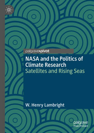
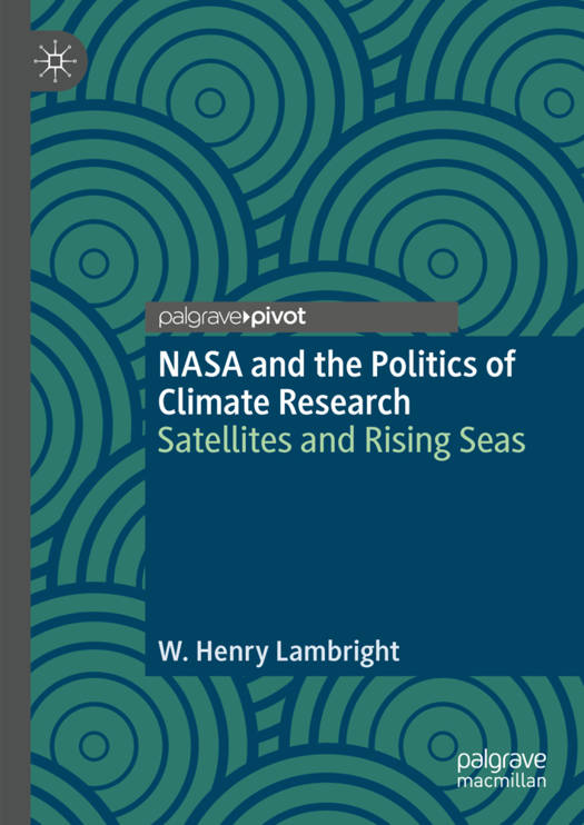
Today, there exists an integrated, large-scale satellite system to track sea-level rise, its speed, causes, and impacts. Building it was a struggle every step of the way. It was the most vivid and potentially consequential program within NASA's larger Earth Science directorate. How did it happen? Who did what? Why? This book seeks to answer such questions. It goes back to the origins of NASA's interest in the oceans in the 1960s and first true ocean satellite, Seasat, in 1978. After three months of operation, Seasat failed. But before it did, it showed how much satellites could tell about the ocean's dynamics. In many ways, sea-level rise is the clearest and most understandable result of a warming planet.
Specificaties
Betrokkenen
- Auteur(s):
- Uitgeverij:
Inhoud
- Aantal bladzijden:
- 155
- Taal:
- Engels
- Reeks:
Eigenschappen
- Productcode (EAN):
- 9783031403620
- Verschijningsdatum:
- 10/10/2023
- Uitvoering:
- Hardcover
- Formaat:
- Genaaid
- Afmetingen:
- 148 mm x 210 mm
- Gewicht:
- 358 g

Alleen bij Standaard Boekhandel
+ 84 punten op je klantenkaart van Standaard Boekhandel
Beoordelingen
We publiceren alleen reviews die voldoen aan de voorwaarden voor reviews. Bekijk onze voorwaarden voor reviews.


