- Afhalen na 1 uur in een winkel met voorraad
- Gratis thuislevering in België vanaf € 30
- Ruim aanbod met 7 miljoen producten
- Afhalen na 1 uur in een winkel met voorraad
- Gratis thuislevering in België vanaf € 30
- Ruim aanbod met 7 miljoen producten
Zoeken
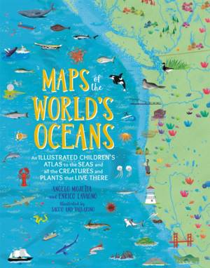
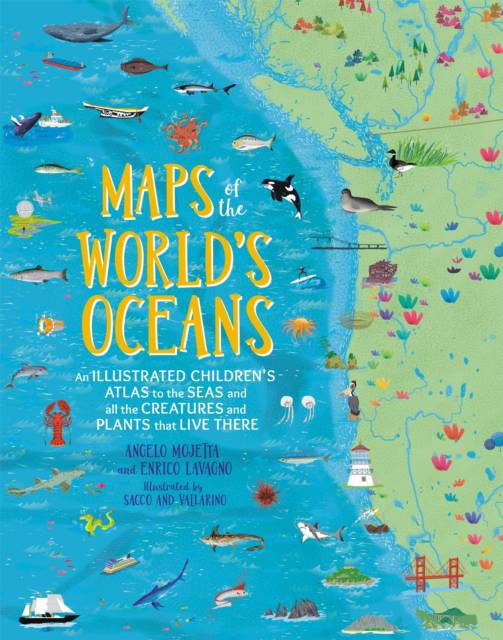
Maps of the World's Oceans
An Illustrated Children's Atlas to the Seas and All the Creatures and Plants That Live There
Enrico Lavagno, Angelo Mojetta
Hardcover | Engels
€ 30,95
+ 61 punten
Omschrijving
This lavishly illustrated, fact-filled atlas--a follow-up to Maps of the World--allows children to discover the fascinating and mysterious world below sea level with links to explore even further on computers and tablets. Covering every ocean and major sea in the world, Maps of the World's Oceans is a vibrant and comprehensive atlas that children of all ages will love to explore. The dozens of colorful, detailed maps are filled with hundreds of illustrated icons highlighting creatures that inhabit the waters of the world from deep-ocean sharks to sea birds that rely on the water to survive. Also featured are vital vegetation, submerged shipwrecks, and icons representing the myths and legends of the various peoples who supposedly lived by the seas. Along the surface, readers will explore ports, lighthouses, famous explorers and voyages, old navigation secrets, and more. Flip the next page from any map and the corresponding icon key explains why these fish, animals, various organisms and more are so vital to the oceans and the seas--and therefore the world. Young readers will learn about waves and tides, currents and oceanic ridges, and more giving them a complete look at the world's waters. Each map includes a link allowing kids to download a version of them on computers and tablets to explore even further. Captivating and comprehensive, Maps of the World's Oceans will entice even the most reluctant young explorer.
Specificaties
Betrokkenen
- Auteur(s):
- Illustrator(s):
- Uitgeverij:
Inhoud
- Aantal bladzijden:
- 144
- Taal:
- Engels
Eigenschappen
- Productcode (EAN):
- 9780762467976
- Verschijningsdatum:
- 5/11/2019
- Uitvoering:
- Hardcover
- Formaat:
- Genaaid
- Afmetingen:
- 236 mm x 295 mm
- Gewicht:
- 975 g

Alleen bij Standaard Boekhandel
+ 61 punten op je klantenkaart van Standaard Boekhandel
Beoordelingen
We publiceren alleen reviews die voldoen aan de voorwaarden voor reviews. Bekijk onze voorwaarden voor reviews.


