Bedankt voor het vertrouwen het afgelopen jaar! Om jou te bedanken bieden we GRATIS verzending (in België) aan op alles gedurende de hele maand januari.
- Afhalen na 1 uur in een winkel met voorraad
- Gratis thuislevering in België
- Ruim aanbod met 7 miljoen producten
Bedankt voor het vertrouwen het afgelopen jaar! Om jou te bedanken bieden we GRATIS verzending (in België) aan op alles gedurende de hele maand januari.
- Afhalen na 1 uur in een winkel met voorraad
- Gratis thuislevering in België
- Ruim aanbod met 7 miljoen producten
Zoeken
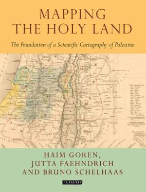
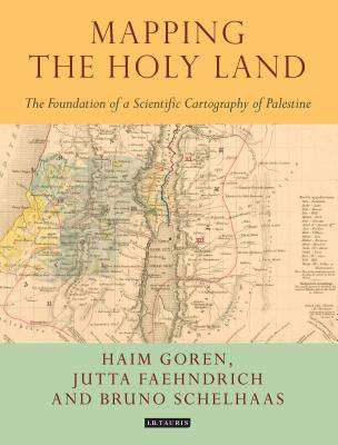
Mapping the Holy Land
The Foundation of a Scientific Cartography of Palestine
Bruno Schelhaas, Jutta Faehndrich, Haim Goren
€ 183,45
+ 366 punten
Omschrijving
Through a detailed study of the work of three of the leading figures of the era - Augustus Petermann, Physical Geographer Royal to Queen Victoria; cartographer Charles Meredith van de Velde, who produced the finest map of the region at the time; and Edward Robinson, founder of modern Palestinology - the authors explore the complex cultural, cartographic and technical processes that shaped and determined the resulting maps of the region. Making full use of newly discovered archival material, and richly illustrated in both colour and black and white, Mapping the Holy Land is essential reading for cartographers, historical geographers, historians of mapmaking, and for all those with an interest in the Holy Land and the history of Palestine.
Specificaties
Betrokkenen
- Auteur(s):
- Uitgeverij:
Inhoud
- Aantal bladzijden:
- 208
- Taal:
- Engels
- Reeks:
Eigenschappen
- Productcode (EAN):
- 9781784534547
- Verschijningsdatum:
- 31/07/2017
- Uitvoering:
- Hardcover
- Formaat:
- Genaaid
- Afmetingen:
- 193 mm x 249 mm
- Gewicht:
- 816 g

Alleen bij Standaard Boekhandel
+ 366 punten op je klantenkaart van Standaard Boekhandel
Beoordelingen
We publiceren alleen reviews die voldoen aan de voorwaarden voor reviews. Bekijk onze voorwaarden voor reviews.


