
Je cadeautjes zeker op tijd in huis hebben voor de feestdagen? Kom langs in onze winkels en vind het perfecte geschenk!
- Afhalen na 1 uur in een winkel met voorraad
- Gratis thuislevering in België vanaf € 30
- Ruim aanbod met 7 miljoen producten
Je cadeautjes zeker op tijd in huis hebben voor de feestdagen? Kom langs in onze winkels en vind het perfecte geschenk!
- Afhalen na 1 uur in een winkel met voorraad
- Gratis thuislevering in België vanaf € 30
- Ruim aanbod met 7 miljoen producten


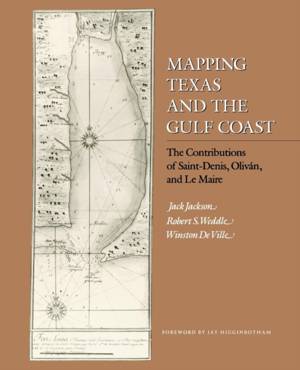
Mapping Texas and the Gulf Coast
The Contributions of Saint-Denis, Oliván, and Le Maire
Jack Jackson, Robert S Weddle, Winston De Ville
Paperback | Engels
€ 22,45
+ 44 punten
Omschrijving
This careful study of eighteenth-century cartography along the Gulf Coast presents a pair of essays that show a fascinating mix of cooperation and competition between Spain and France. A native Canadian, Louis Juchereau de Saint-Denis explored much of the region around the Gulf in 1714 and 1717. He sent data to his homeland of France, but he also shared information with Spanish officials. Jack Jackson and Robert S. Weddle present three previously unpublished maps, drawn by Juan Manuel de Oliván Rebolledo, which followed Saint-Denis's information. Oliván's fourth map, published in 1718, was based on these and was drawn to demonstrate how Spain might protect itself from the French threat in Louisiana and Canada. Information from the Oliván-Saint-Denis maps soon began emerging on French maps. Guillaume Delisle's 1718 "mother map" of the Gulf Coast was made possible by Francois Le Maire, a virtually unknown French missionary in Mobile. In the second essay, Jackson and Winston De Ville examine Le Maire's various memoirs and maps, which relied on Saint-Denis for their portrayal of the "Western Country." Like the Oliván-Saint-Denis maps, these are previously unpublished. Their appearance, along with documentation presented here, explains how Delisle acquired the information to draw his profoundly influential map. Jackson, Weddle, and De Ville provide new insight into the mapping of the Gulf Coast, underscore the importance of both Saint-Denis and Le Maire, and improved the understanding of the Franco-Spanish colonial rivalries of the eighteenth century. This important book for cartographers will also be of interest to the lay historian and the Gulf Coast enthusiast.
Specificaties
Betrokkenen
- Auteur(s):
- Uitgeverij:
Inhoud
- Aantal bladzijden:
- 110
- Taal:
- Engels
Eigenschappen
- Productcode (EAN):
- 9781603440554
- Verschijningsdatum:
- 28/03/2008
- Uitvoering:
- Paperback
- Formaat:
- Trade paperback (VS)
- Afmetingen:
- 190 mm x 235 mm
- Gewicht:
- 204 g


Alleen bij Standaard Boekhandel
+ 44 punten op je klantenkaart van Standaard Boekhandel
CADEAU


Beoordelingen
We publiceren alleen reviews die voldoen aan de voorwaarden voor reviews. Bekijk onze voorwaarden voor reviews.