- Afhalen na 1 uur in een winkel met voorraad
- Gratis thuislevering in België vanaf € 30
- Ruim aanbod met 7 miljoen producten
- Afhalen na 1 uur in een winkel met voorraad
- Gratis thuislevering in België vanaf € 30
- Ruim aanbod met 7 miljoen producten
Zoeken
Omschrijving
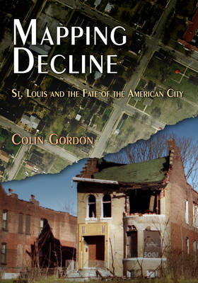
Once a thriving metropolis on the banks of the Mississippi, St. Louis, Missouri, is now a ghostly landscape of vacant houses, boarded-up storefronts, and abandoned factories. The Gateway City is, by any measure, one of the most depopulated, deindustrialized, and deeply segregated examples of American urban decay. "Not a typical city," as one observer noted in the late 1970s, "but, like a Eugene O'Neill play, it shows a general condition in a stark and dramatic form."
Mapping Decline examines the causes and consequences of St. Louis's urban crisis. It traces the complicity of private real estate restrictions, local planning and zoning, and federal housing policies in the "white flight" of people and wealth from the central city. And it traces the inadequacy--and often sheer folly--of a generation of urban renewal, in which even programs and resources aimed at eradicating blight in the city ended up encouraging flight to the suburbs. The urban crisis, as this study of St. Louis makes clear, is not just a consequence of economic and demographic change; it is also the most profound political failure of our recent history. Mapping Decline is the first history of a modern American city to combine extensive local archival research with the latest geographic information system (GIS) digital mapping techniques. More than 75 full-color maps--rendered from census data, archival sources, case law, and local planning and property records--illustrate, in often stark and dramatic ways, the still-unfolding political history of our neglected cities.Specificaties
Betrokkenen
- Auteur(s):
- Uitgeverij:
Inhoud
- Aantal bladzijden:
- 304
- Taal:
- Engels
- Reeks:
Eigenschappen
- Productcode (EAN):
- 9780812220940
- Verschijningsdatum:
- 9/10/2009
- Uitvoering:
- Paperback
- Formaat:
- Trade paperback (VS)
- Afmetingen:
- 178 mm x 251 mm
- Gewicht:
- 748 g

Alleen bij Standaard Boekhandel
+ 173 punten op je klantenkaart van Standaard Boekhandel
Beoordelingen
We publiceren alleen reviews die voldoen aan de voorwaarden voor reviews. Bekijk onze voorwaarden voor reviews.


