- Afhalen na 1 uur in een winkel met voorraad
- Gratis thuislevering in België vanaf € 30
- Ruim aanbod met 7 miljoen producten
- Afhalen na 1 uur in een winkel met voorraad
- Gratis thuislevering in België vanaf € 30
- Ruim aanbod met 7 miljoen producten
Omschrijving
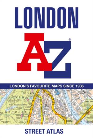
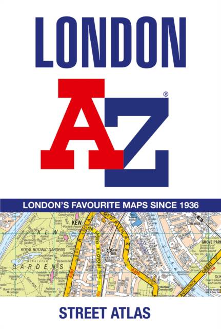
First published in 1936, this iconic atlas is a trusted means of finding your way around the capital city.
The main mapping extends beyond Central London from Heathrow Airport to Chingford at a scale of 2.88 inches to 1 mile (4.55 cm to 1 km), featuring postcode districts, one-way streets, the Congestion Charging Zone and Low Emission Zone.
The large-scale street map of Central London - at a scale of 5.75 inches to 1 mile - cover Regent's Park and Shoreditch, Chelsea and Vauxhall, Hyde Park and Bermondsey.
A comprehensive index lists streets, selected flats, walkways and places of interest, place, area and junction names. Additional healthcare (hospitals, walk-in centres and hospices) and transport connections (National Rail, London Tramlink, Docklands Light Railway, London Underground and Overground stations, and River Bus pier) are indexed as well.
Also included are:
- Overview map of the Congestion Charging Zone, Ultra Low Emission and Low Emission Zones
- West End Theatre map
- London Connections rail services map
Specificaties
Betrokkenen
- Auteur(s):
- Uitgeverij:
Inhoud
- Aantal bladzijden:
- 464
- Taal:
- Engels
Eigenschappen
- Productcode (EAN):
- 9780008663490
- Verschijningsdatum:
- 6/08/2024
- Uitvoering:
- Paperback
- Formaat:
- Trade paperback (VS)
- Afmetingen:
- 130 mm x 190 mm
- Gewicht:
- 521 g

Alleen bij Standaard Boekhandel
Beoordelingen
We publiceren alleen reviews die voldoen aan de voorwaarden voor reviews. Bekijk onze voorwaarden voor reviews.


