Door een staking bij bpost kan je online bestelling op dit moment iets langer onderweg zijn dan voorzien. Dringend iets nodig? Onze winkels ontvangen jou met open armen!
- Afhalen na 1 uur in een winkel met voorraad
- Gratis thuislevering in België vanaf € 30
- Ruim aanbod met 7 miljoen producten
Door een staking bij bpost kan je online bestelling op dit moment iets langer onderweg zijn dan voorzien. Dringend iets nodig? Onze winkels ontvangen jou met open armen!
- Afhalen na 1 uur in een winkel met voorraad
- Gratis thuislevering in België vanaf € 30
- Ruim aanbod met 7 miljoen producten
Zoeken
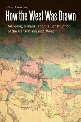
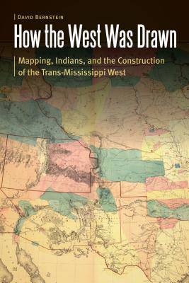
How the West Was Drawn
Mapping, Indians, and the Construction of the Trans-Mississippi West
David Bernstein
€ 167,95
+ 335 punten
Uitvoering
Omschrijving
How the West Was Drawn explores the geographic and historical experiences of the Pawnees, the Iowas, and the Lakotas during the European and American contest for imperial control of the Great Plains during the eighteenth and nineteenth centuries. David Bernstein argues that the American West was a collaborative construction between Native peoples and Euro-American empires that developed cartographic processes and culturally specific maps, which in turn reflected encounter and conflict between settler states and indigenous peoples. Bernstein explores the cartographic creation of the Trans-Mississippi West through an interdisciplinary methodology in geography and history. He shows how the Pawnees and the Iowas--wedged between powerful Osages, Sioux, the horse- and captive-rich Comanche Empire, French fur traders, Spanish merchants, and American Indian agents and explorers--devised strategies of survivance and diplomacy to retain autonomy during this era. The Pawnees and the Iowas developed a strategy of cartographic resistance to predations by both Euro-American imperial powers and strong indigenous empires, navigating the volatile and rapidly changing world of the Great Plains by brokering their spatial and territorial knowledge either to stronger indigenous nations or to much weaker and conquerable American and European powers. How the West Was Drawn is a revisionist and interdisciplinary understanding of the global imperial contest for North America's Great Plains that illuminates in fine detail the strategies of survival of the Pawnees, the Iowas, and the Lakotas amid accommodation to predatory Euro-American and Native empires.
Specificaties
Betrokkenen
- Auteur(s):
- Uitgeverij:
Inhoud
- Aantal bladzijden:
- 324
- Taal:
- Engels
- Reeks:
Eigenschappen
- Productcode (EAN):
- 9780803249301
- Verschijningsdatum:
- 1/08/2018
- Uitvoering:
- Hardcover
- Formaat:
- Genaaid
- Afmetingen:
- 152 mm x 229 mm
- Gewicht:
- 630 g

Alleen bij Standaard Boekhandel
+ 335 punten op je klantenkaart van Standaard Boekhandel
Beoordelingen
We publiceren alleen reviews die voldoen aan de voorwaarden voor reviews. Bekijk onze voorwaarden voor reviews.


