- Afhalen na 1 uur in een winkel met voorraad
- Gratis thuislevering in België vanaf € 30
- Ruim aanbod met 7 miljoen producten
- Afhalen na 1 uur in een winkel met voorraad
- Gratis thuislevering in België vanaf € 30
- Ruim aanbod met 7 miljoen producten
Zoeken
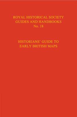
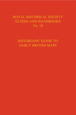
Historian's Guide to Early British Maps
A Guide to the Location of Pre-1900 Maps of the British Isles Preserved in the United Kingdom and Ireland
€ 115,45
+ 230 punten
Omschrijving
Great Britain and Ireland enjoy a rich cartographic heritage, yet historians have not made full use of early maps in their writings and research. This is partly due to a lack of information about exactly which maps are available. With the publication of this volume from the Royal Historical Society in 1994, we now have a comprehensive guide to the early maps of Great Britain. Now available from Cambridge University Press, this volume provides an essential reference tool for anyone requiring to access maps of the British Isles dating back to the medieval period and beyond.
Specificaties
Betrokkenen
- Uitgeverij:
Inhoud
- Aantal bladzijden:
- 475
- Taal:
- Engels
- Reeks:
- Reeksnummer:
- nr. 18
Eigenschappen
- Productcode (EAN):
- 9780521551526
- Verschijningsdatum:
- 28/04/1995
- Uitvoering:
- Hardcover
- Formaat:
- Genaaid
- Afmetingen:
- 150 mm x 238 mm
- Gewicht:
- 748 g

Alleen bij Standaard Boekhandel
+ 230 punten op je klantenkaart van Standaard Boekhandel
Beoordelingen
We publiceren alleen reviews die voldoen aan de voorwaarden voor reviews. Bekijk onze voorwaarden voor reviews.


