
- Afhalen na 1 uur in een winkel met voorraad
- Gratis thuislevering in België vanaf € 30
- Ruim aanbod met 7 miljoen producten
- Afhalen na 1 uur in een winkel met voorraad
- Gratis thuislevering in België vanaf € 30
- Ruim aanbod met 7 miljoen producten


€ 22,45
+ 44 punten
Omschrijving
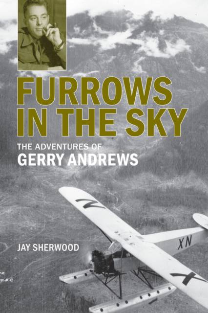
Gerry Andrews (1903-2005) had many adventures in his 102 years. He was a rural school teacher, a forester, a soldier and a surveyor. His developments in aerial photography dramatically changed forestry in BC in the late 1930s and assisted the Allies in the D-Day landings. As BC's surveyor-general from 1951 to 1968, he supervised the mapping of the province's large construction projects, often using aerial photography. He referred to the process of mapping the landscape in an airplane as "ploughing photographic furrows up and down the sky at 16,000 feet".
Specificaties
Betrokkenen
- Auteur(s):
- Uitgeverij:
Inhoud
- Aantal bladzijden:
- 240
- Taal:
- Engels
Eigenschappen
- Productcode (EAN):
- 9780772665225
- Verschijningsdatum:
- 11/04/2012
- Uitvoering:
- Paperback
- Formaat:
- Trade paperback (VS)
- Afmetingen:
- 150 mm x 226 mm
- Gewicht:
- 340 g


Alleen bij Standaard Boekhandel
+ 44 punten op je klantenkaart van Standaard Boekhandel
E-BOOK ACTIE


Beoordelingen
We publiceren alleen reviews die voldoen aan de voorwaarden voor reviews. Bekijk onze voorwaarden voor reviews.