Door een staking bij bpost kan je online bestelling op dit moment iets langer onderweg zijn dan voorzien. Dringend iets nodig? Onze winkels ontvangen jou met open armen!
- Afhalen na 1 uur in een winkel met voorraad
- Gratis thuislevering in België vanaf € 30
- Ruim aanbod met 7 miljoen producten
Door een staking bij bpost kan je online bestelling op dit moment iets langer onderweg zijn dan voorzien. Dringend iets nodig? Onze winkels ontvangen jou met open armen!
- Afhalen na 1 uur in een winkel met voorraad
- Gratis thuislevering in België vanaf € 30
- Ruim aanbod met 7 miljoen producten
Zoeken
€ 27,95
+ 55 punten
Omschrijving
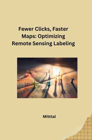
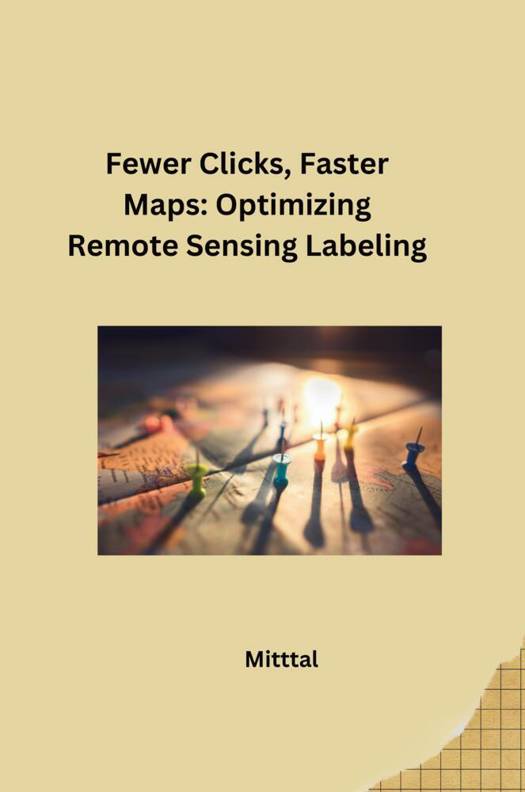
Remote sensing, using satellites and aircraft to gather Earth data, is crucial for tasks like disaster response, monitoring deforestation, and tracking crop health. However, analyzing this data often requires labeling - identifying features like buildings, forests, or flooded areas - which can be a tedious, time-consuming process. This title highlights the importance of streamlining this process. "Fewer clicks" refers to developing techniques that reduce the number of clicks or actions needed to label each feature. This could involve automating repetitive tasks or using machine learning algorithms to assist with labeling. "Faster maps" emphasizes the ultimate goal - generating accurate and detailed maps more quickly. By optimizing labeling, scientists and analysts can spend less time on repetitive tasks and more time extracting valuable insights from remote sensing data. This leads to faster decision-making and a more efficient response to various challenges.
Specificaties
Betrokkenen
- Auteur(s):
- Uitgeverij:
Inhoud
- Aantal bladzijden:
- 90
- Taal:
- Engels
Eigenschappen
- Productcode (EAN):
- 9783384280435
- Verschijningsdatum:
- 5/07/2024
- Uitvoering:
- Paperback
- Formaat:
- Trade paperback (VS)
- Afmetingen:
- 152 mm x 229 mm
- Gewicht:
- 145 g

Alleen bij Standaard Boekhandel
+ 55 punten op je klantenkaart van Standaard Boekhandel
Beoordelingen
We publiceren alleen reviews die voldoen aan de voorwaarden voor reviews. Bekijk onze voorwaarden voor reviews.


