
- Afhalen na 1 uur in een winkel met voorraad
- Gratis thuislevering in België vanaf € 30
- Ruim aanbod met 7 miljoen producten
- Afhalen na 1 uur in een winkel met voorraad
- Gratis thuislevering in België vanaf € 30
- Ruim aanbod met 7 miljoen producten


€ 60,95
+ 121 punten
Omschrijving
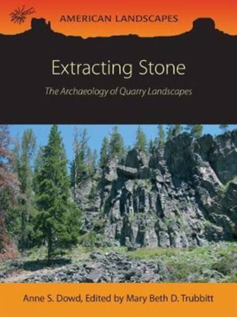
"[T]he production quality of the volume is high... The volume will appeal to members of the public and will be useful to undergraduate students and beginning graduate students looking for an overview of quarry studies in North America. I can see this text being used in a lithic technology class. Its length (157 pages including bibliography) makes it accessible for students." - American Antiquity Vol. 91, Issue 1
This exciting new addition to the American Landscapes series provides an in-depth account of how flintknappers obtained and used stone based on archaeological, geological, landscape, and anthropological data. Featuring case studies from three key regions in North America, this book gives readers a comprehensive view of quarrying activities ranging from extracting the raw material to creating finished stone tools.
Quarry landscapes were some of the first large-scale land modification efforts among early peoples in the New World. The chronological time periods covered by quarrying activities show that most intensive use took place during parts of the Archaic and Woodland periods or between roughly 4000-1000 years ago when denser populations existed, but use began as early as the Paleoindian Period, about 13,000-9000 years ago, and ended in the Historic or Protohistoric periods, when colonists and Native Americans mined chert for gunflints and sharpening stones or abrasives. From the procurement systems approach common in the 1980s and 1990s, archaeologists can now employ a landscape approach to quarry studies in tandem with Geographic Information Systems (GIS) computer mapping and digital analysis, Light and RADAR (LiDAR) airborne laser scanning for recording topography, or high resolution satellite imagery.
Authors Dowd and Trubitt show how sites functioned in a broad landscape context, which site locations or raw material types were preferred and why, what cultures were responsible for innovative or intensive quarry resource extraction, as well as how land use changed over time. Besides discussions of the way that industrialists used natural resources to change their technology by means of manufacture, trade, and exchange, examples are given of heritage sites that people can visit in the United States and Canada.
Specificaties
Betrokkenen
- Auteur(s):
- Uitgeverij:
Inhoud
- Aantal bladzijden:
- 168
- Taal:
- Engels
- Reeks:
- Reeksnummer:
- nr. 5
Eigenschappen
- Productcode (EAN):
- 9781785706240
- Verschijningsdatum:
- 4/04/2024
- Uitvoering:
- Paperback
- Formaat:
- Trade paperback (VS)
- Afmetingen:
- 182 mm x 244 mm
- Gewicht:
- 453 g


Alleen bij Standaard Boekhandel
+ 121 punten op je klantenkaart van Standaard Boekhandel
Cadeau

AANGERADEN


Beoordelingen
We publiceren alleen reviews die voldoen aan de voorwaarden voor reviews. Bekijk onze voorwaarden voor reviews.