Door een staking bij bpost kan je online bestelling op dit moment iets langer onderweg zijn dan voorzien. Dringend iets nodig? Onze winkels ontvangen jou met open armen!
- Afhalen na 1 uur in een winkel met voorraad
- Gratis thuislevering in België vanaf € 30
- Ruim aanbod met 7 miljoen producten
Door een staking bij bpost kan je online bestelling op dit moment iets langer onderweg zijn dan voorzien. Dringend iets nodig? Onze winkels ontvangen jou met open armen!
- Afhalen na 1 uur in een winkel met voorraad
- Gratis thuislevering in België vanaf € 30
- Ruim aanbod met 7 miljoen producten
Zoeken
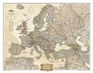
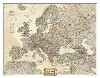
Europe politiek antiek wandkaart
Wall Maps Continents
Opgerolde kaart | Engels
€ 21,95
+ 43 punten
Omschrijving
Expertly researched and designed, National Geographic's Europe Wall Map is the authoritative map of Europe by which other reference maps are measured.
Product Features:
- Antique-style "executive" color palette
- Background shows mountain ranges and valleys in subtle shaded relief with mountain ranges labeled
- Major water bodies including rivers, lakes, glaciers, oceans, seas, gulfs, bays, straits, and bathymetry
- Clearly defined international boundaries, cities, islands, airports, and physical features
- Thousands of place names carefully and artfully placed to maintain legibility in heavily populated areas
- Up-to-date international boundaries and territorial control reflect de facto status on the ground
- Meticulously researched using multiple authoritative sources including the United Nations and policies of individual governments.
- Accurate place names use a combination of conventional English names, official national names, and standard transliterations for non-Latin alphabets.
- Countries shown include: Albania, Armenia, Austria, Azerbaijan, Belarus, Belgium, Bosnia & Herzegovina, Bulgaria, Croatia, Cyprus, Czech Republic, Denmark, Estonia, Finland, France, Georgia, Germany, Greece, Hungary, Iceland, Ireland, Italy, Kosovo, Latvia, Liechtenstein, Lithuania, Luxembourg, Moldova, Montenegro, The Netherlands, North Macedonia, Norway, Poland, Portugal, Romania, Russia, Serbia, Slovakia, Slovenia, Spain, Sweden, Switzerland, Turkey, Ukraine, and the United Kingdom.
The map is packaged in a two inch diameter tube with a label showing a thumbnail of the map with dimensions and other pertinent information.
- Map Scale = 1:8,400,000
- Sheet Size = 30.5" x 23.75"
Specificaties
Betrokkenen
- Auteur(s):
- Uitgeverij:
Inhoud
- Aantal bladzijden:
- 1
- Taal:
- Engels
- Reeks:
Eigenschappen
- Productcode (EAN):
- 9780792289838
- Verschijningsdatum:
- 9/03/2019
- Uitvoering:
- Opgerolde kaart
- Afmetingen:
- 77 cm x 60 cm
- Gewicht:
- 50 g

Alleen bij Standaard Boekhandel
+ 43 punten op je klantenkaart van Standaard Boekhandel
Beoordelingen
We publiceren alleen reviews die voldoen aan de voorwaarden voor reviews. Bekijk onze voorwaarden voor reviews.


