
- Afhalen na 1 uur in een winkel met voorraad
- Gratis thuislevering in België vanaf € 30
- Ruim aanbod met 7 miljoen producten
- Afhalen na 1 uur in een winkel met voorraad
- Gratis thuislevering in België vanaf € 30
- Ruim aanbod met 7 miljoen producten


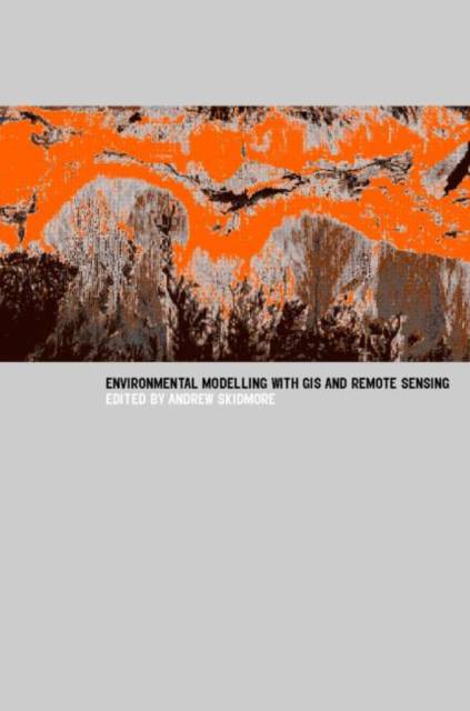
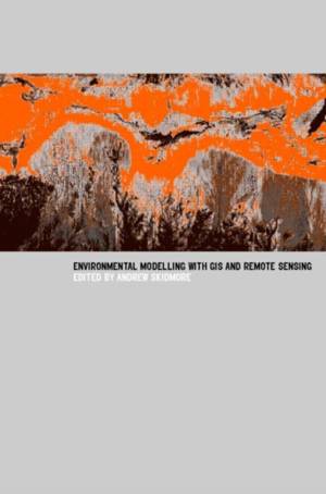
Environmental Modelling with GIS and Remote Sensing
€ 160,45
+ 320 punten
Omschrijving
Most government agencies and private companies are investing significant resources in the production and use of geographical data. The capabilities of Geographical Information Systems (GIS) for data analysis are also improving, to the extent that the potential performance of GIS software and the data available for analysis outstrip the abilities of managers and analysts to use and analyze the information. This is especially true for environmental applications. Here the need to keep up-to-date is essential for providing effective and efficient services. Environmental Modeling with GIS and Remote Sensing derives from a training course run by ITC for professionals and managers in the environmental sciences, detailing the applications of remote sensing and GIS for environmental modeling and assessment. It sets out the current research results and provides operational methods for environmental mapping and monitoring.
Specificaties
Betrokkenen
- Uitgeverij:
Inhoud
- Aantal bladzijden:
- 286
- Taal:
- Engels
- Reeks:
Eigenschappen
- Productcode (EAN):
- 9780415241700
- Verschijningsdatum:
- 14/02/2002
- Uitvoering:
- Paperback
- Formaat:
- Trade paperback (VS)
- Afmetingen:
- 156 mm x 239 mm
- Gewicht:
- 489 g

Alleen bij Standaard Boekhandel
+ 320 punten op je klantenkaart van Standaard Boekhandel
E-BOOK ACTIE


Beoordelingen
We publiceren alleen reviews die voldoen aan de voorwaarden voor reviews. Bekijk onze voorwaarden voor reviews.