- Afhalen na 1 uur in een winkel met voorraad
- Gratis thuislevering in België vanaf € 30
- Ruim aanbod met 7 miljoen producten
- Afhalen na 1 uur in een winkel met voorraad
- Gratis thuislevering in België vanaf € 30
- Ruim aanbod met 7 miljoen producten
Zoeken
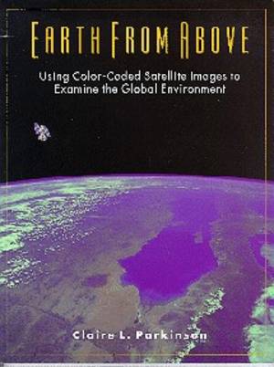
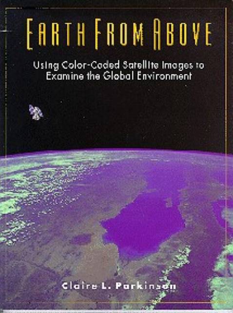
Earth From Above
Using color-coded satellite images to examine the global environment
Claire Parkinson
Paperback | Engels
€ 50,45
+ 100 punten
Omschrijving
Earth from Above provides an easy introduction to understanding and interpreting satellite images, using illustrative examples to instruct on the fantastically informative new global data sets. Beginning with two short chapters on visible satellite images and radiation, the book then covers six key Earth-atmosphere variables on such environmentally important topics as the Antarctic ozone hole, El Nino, deforestation, the missing carbon dilemma, and the effects of sea ice, snow cover, and volcanoes on atmospheric temperatures. A final chapter broadens the discussion to consider satellite Earth observations in general.The book is heavily illustrated, including photographs, maps, schematic diagrams, and 50 color-coded satellite images. Each section concludes with a list of questions encouraging the reader to review the text and, in the case of sections with satellite image, to examine the images and find answers from them. Answers to all questions are provided at the back of the book.
Specificaties
Betrokkenen
- Auteur(s):
- Uitgeverij:
Inhoud
- Aantal bladzijden:
- 192
- Taal:
- Engels
Eigenschappen
- Productcode (EAN):
- 9780935702415
- Verschijningsdatum:
- 30/07/1997
- Uitvoering:
- Paperback
- Formaat:
- Trade paperback (VS)
- Afmetingen:
- 205 mm x 269 mm
- Gewicht:
- 566 g

Alleen bij Standaard Boekhandel
+ 100 punten op je klantenkaart van Standaard Boekhandel
Beoordelingen
We publiceren alleen reviews die voldoen aan de voorwaarden voor reviews. Bekijk onze voorwaarden voor reviews.


