
- Afhalen na 1 uur in een winkel met voorraad
- Gratis thuislevering in België vanaf € 30
- Ruim aanbod met 7 miljoen producten
- Afhalen na 1 uur in een winkel met voorraad
- Gratis thuislevering in België vanaf € 30
- Ruim aanbod met 7 miljoen producten


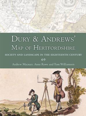
Dury and Andrews' Map of Hertfordshire
Society and Landscape in the Eighteenth Century
Andrew Macnair, Anne Rowe, Tom Williamson
Paperback | Engels
€ 58,95
+ 117 punten
Omschrijving
This book is about the map of an English county - Hertfordshire - which was published in 1766 by two London mapmakers, Andrew Dury and John Andrews.
For well over two centuries, from the time of Elizabeth I to the late 18th century, the county was the basic unit for mapping in Britain and the period witnessed several episodes of comprehensive map making. The map which forms the subject of this book followed on from a large number of previous maps of the county but was greatly superior to them in terms of quality and detail. It was published in a variety of forms, in nine sheets with an additional index map, over a period of 60 years. No other maps of Hertfordshire were produced during the rest of the century, but the Board of Ordnance, later the Ordnance Survey, established in the 1790s, began to survey the Hertfordshire area in 1799, publishing the first maps covering the county between 1805 and 1834. The OS came to dominate map making in Britain but, of all the maps of Hertfordshire, that produced by Dury and Andrews was the first to be surveyed at a sufficiently large scale to really allow those dwelling in the county to visualize their own parish, local topography and even their own house, and its place in the wider landscape.
The first section examines the context of the map's production and its place in cartographic history, and describes the creation of a new, digital version of the map which can be accessed online . The second part describes various ways in which this electronic version can be interrogated, in order to throw important new light on Hertfordshire's landscape and society, both in the middle decades of the eighteenth century when it was produced, and in more remote periods. The attached DVD contains over a dozen maps which have been derived from the digital version, and which illustrate many of the issues discussed in the text, as well as related material which should likewise be useful to students of landscape history, historical geography and local history.
Specificaties
Betrokkenen
- Auteur(s):
- Uitgeverij:
Inhoud
- Aantal bladzijden:
- 240
- Taal:
- Engels
Eigenschappen
- Productcode (EAN):
- 9781909686731
- Verschijningsdatum:
- 31/01/2016
- Uitvoering:
- Paperback
- Formaat:
- Trade paperback (VS)
- Afmetingen:
- 185 mm x 246 mm
- Gewicht:
- 676 g


Alleen bij Standaard Boekhandel
+ 117 punten op je klantenkaart van Standaard Boekhandel
E-BOOK ACTIE


Beoordelingen
We publiceren alleen reviews die voldoen aan de voorwaarden voor reviews. Bekijk onze voorwaarden voor reviews.