- Afhalen na 1 uur in een winkel met voorraad
- Gratis thuislevering in België vanaf € 30
- Ruim aanbod met 7 miljoen producten
- Afhalen na 1 uur in een winkel met voorraad
- Gratis thuislevering in België vanaf € 30
- Ruim aanbod met 7 miljoen producten
Zoeken
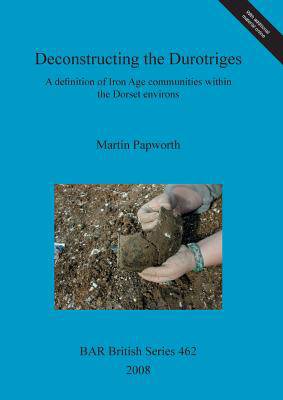
Deconstructing the Durotriges
A definition of Iron Age communities within the Dorset environs
Martin Papworth
€ 183,45
+ 366 punten
Omschrijving
Ptolemy's second century geography is the main source traditionally used when dividing pre-Roman Britain into tribal areas. In it he describes the Durotriges as inhabiting Dorset and parts of Somerset, Wiltshire and Hampshire. This large-scale study surveys the 'Durotrigan zone' in Dorset looking at settlement patterns and types, ceramics and coin distribution to ask whether the Durotriges can be considered as a homogenous entity as presented by Ptolemy. In fact settlement forms showed considerable diversity, which can also be seen in differing burial customs and belief systems, and Papworth ultimately sees the area as being inhabited by co-existing, but distinct communities. Coin evidence, however shows that particularly towards the end of the pre-Roman period the communities were linked together, probably in a form of trading block.
Specificaties
Betrokkenen
- Auteur(s):
- Uitgeverij:
Inhoud
- Aantal bladzijden:
- 456
- Taal:
- Engels
- Reeks:
- Reeksnummer:
- nr. 462
Eigenschappen
- Productcode (EAN):
- 9781407302218
- Verschijningsdatum:
- 31/12/2008
- Uitvoering:
- Paperback
- Formaat:
- Trade paperback (VS)
- Afmetingen:
- 210 mm x 297 mm
- Gewicht:
- 1460 g

Alleen bij Standaard Boekhandel
+ 366 punten op je klantenkaart van Standaard Boekhandel
Beoordelingen
We publiceren alleen reviews die voldoen aan de voorwaarden voor reviews. Bekijk onze voorwaarden voor reviews.


