
- Afhalen na 1 uur in een winkel met voorraad
- Gratis thuislevering in België vanaf € 30
- Ruim aanbod met 7 miljoen producten
- Afhalen na 1 uur in een winkel met voorraad
- Gratis thuislevering in België vanaf € 30
- Ruim aanbod met 7 miljoen producten


Omschrijving
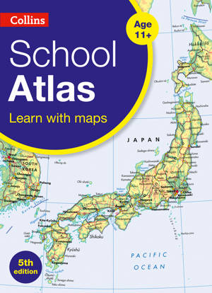
An introductory atlas for secondary schools, perfectly designed to support and motivate Key Stage 3 students in geographical and mapping skills.
• This introductory atlas for secondary school students aged 11-14 is designed to develop map, atlas and data handling skills. The content adheres closely to the requirements of the National Curriculum and incorporates results of classroom testing.
• Its clear and accessible layout will motivate pupils of all abilities at Key Stage 3 and S1-S2. An easy to follow introductory 'map and atlas skills' section, useful for both teacher and pupil, is followed by clear, easy to read reference maps presented with locator maps, fact boxes and flags, descriptive text, detailed map keys and photos, and carefully selected focus country studies.
• The extended world section in this edition covers all the global issues required by the National Curriculum e.g. climate, population, biomes, earthquakes and volcanoes.
Specificaties
Betrokkenen
- Uitgeverij:
Inhoud
- Aantal bladzijden:
- 104
- Taal:
- Engels
- Reeks:
Eigenschappen
- Productcode (EAN):
- 9780008417444
- Verschijningsdatum:
- 5/08/2020
- Uitvoering:
- E-book
- Beveiligd met:
- Adobe DRM
- Formaat:

Alleen bij Standaard Boekhandel
+ 7 punten op je klantenkaart van Standaard Boekhandel
E-BOOK ACTIE


Beoordelingen
We publiceren alleen reviews die voldoen aan de voorwaarden voor reviews. Bekijk onze voorwaarden voor reviews.