
Door een staking bij bpost kan je online bestelling op dit moment iets langer onderweg zijn dan voorzien. Dringend iets nodig? Onze winkels ontvangen jou met open armen!
- Afhalen na 1 uur in een winkel met voorraad
- Gratis thuislevering in België vanaf € 30
- Ruim aanbod met 7 miljoen producten
Door een staking bij bpost kan je online bestelling op dit moment iets langer onderweg zijn dan voorzien. Dringend iets nodig? Onze winkels ontvangen jou met open armen!
- Afhalen na 1 uur in een winkel met voorraad
- Gratis thuislevering in België vanaf € 30
- Ruim aanbod met 7 miljoen producten


€ 106,45
+ 212 punten
Omschrijving
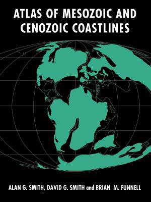
The inferred positions of global paleoshorelines through the 240 million years of the Mesozoic and Cenozoic are presented within this atlas. Thirty-one maps, generally corresponding to stratigraphic stages, provide a snapshot of the continents and their shorelines at approximately 8 million year intervals. The maps provide a representation of the gross changes in the distribution of land and sea throughout the Mesozoic and Cenozoic plotted on Mollweide projections of paleocontinental reconstruction. They do not distinguish between well and poorly defined shorelines, but the information sources are set out in a bibliography numbering more than 2000 primary paleographic references. This is a global compilation that presents the first attempt at delineating global shorelines at stage level, and which represents many years of work sponsored by British Petroleum International (BPI), and work by BPI themselves between 1981 and 1987.
Specificaties
Betrokkenen
- Auteur(s):
- Uitgeverij:
Inhoud
- Aantal bladzijden:
- 112
- Taal:
- Engels
Eigenschappen
- Productcode (EAN):
- 9780521602877
- Verschijningsdatum:
- 25/03/2004
- Uitvoering:
- Paperback
- Formaat:
- Trade paperback (VS)
- Afmetingen:
- 210 mm x 280 mm
- Gewicht:
- 281 g


Alleen bij Standaard Boekhandel
+ 212 punten op je klantenkaart van Standaard Boekhandel
E-BOOK ACTIE


Beoordelingen
We publiceren alleen reviews die voldoen aan de voorwaarden voor reviews. Bekijk onze voorwaarden voor reviews.