- Afhalen na 1 uur in een winkel met voorraad
- Gratis thuislevering in België vanaf € 30
- Ruim aanbod met 7 miljoen producten
- Afhalen na 1 uur in een winkel met voorraad
- Gratis thuislevering in België vanaf € 30
- Ruim aanbod met 7 miljoen producten
Zoeken
Omschrijving
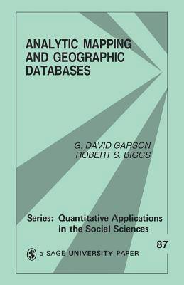
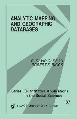
Nearly 80% of the informational needs of local government policymakers are related to geographic location. As a result, the techniques of analytic mapping (the study of the dynamic diffusion and distribution of any variable across area and over time) and of geographic information systems (GIS) have become increasingly important tools for analyzing census, crime, environmental and consumer data. The authors of this significant little volume discuss data access, transformation and preparation issues, and how to select the appropriate analytic graphics techniques through a review of various GIS and common data sources: census products, TIGER files, and CD-ROM access. Garson and Biggs describe each procedure, review its assumptions and requirements, and provide illustrative output for sample data using selected software. Researchers and administrators who need to manage data of geographic locations will find Analytic Mapping and Geographic Databases a useful guide for systems storing, retrieving, analyzing, and displaying this information.
Specificaties
Betrokkenen
- Auteur(s):
- Uitgeverij:
Inhoud
- Aantal bladzijden:
- 96
- Taal:
- Engels
- Reeks:
- Reeksnummer:
- nr. 87
Eigenschappen
- Productcode (EAN):
- 9780803947528
- Verschijningsdatum:
- 1/01/1992
- Uitvoering:
- Paperback
- Formaat:
- Trade paperback (VS)
- Afmetingen:
- 138 mm x 213 mm
- Gewicht:
- 117 g

Alleen bij Standaard Boekhandel
+ 140 punten op je klantenkaart van Standaard Boekhandel
Beoordelingen
We publiceren alleen reviews die voldoen aan de voorwaarden voor reviews. Bekijk onze voorwaarden voor reviews.


