- Afhalen na 1 uur in een winkel met voorraad
- Gratis thuislevering in België vanaf € 30
- Ruim aanbod met 7 miljoen producten
- Afhalen na 1 uur in een winkel met voorraad
- Gratis thuislevering in België vanaf € 30
- Ruim aanbod met 7 miljoen producten
Omschrijving
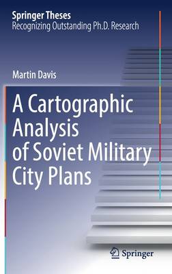
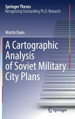
The collapse of the Soviet Union has seen the emergence of its unprecedentedly comprehensive global secret military mapping project and the commercial availability of a vast number of detailed topographic maps and city plans at several scales. This thesis provides an in-depth examination of the series of over 2,000 large-scale city plans produced in secret by the Military Topographic Directorate ( ) of the General Staff between the end of the Second World War and the collapse of the USSR in 1991. After positioning the series in its historical context, the nature and content of the plans are examined in detail. A poststructuralist perspective introduces possibilities to utilise and apply the maps in new contexts, which this thesis facilitates by providing a systematic, empirical analysis of the Soviet map symbology at 1:10,000 and 1:25,000, using new translations of production manuals and a sample of the city plans. A comparative analysis with the current OpenStreetMap symbology indicates scope for Soviet mapping to be used as a valuable supplementary topographic resource in a variety of existing and future global mapping initiatives, including humanitarian crisis mapping. This leads to a conclusion that the relevance and value of Soviet military maps endure in modern applications, both as a source of data and as a means of overcoming contemporary cartographic challenges relating to symbology, design and the handling of large datasets.
Specificaties
Betrokkenen
- Auteur(s):
- Uitgeverij:
Inhoud
- Aantal bladzijden:
- 200
- Taal:
- Engels
- Reeks:
Eigenschappen
- Productcode (EAN):
- 9783030840167
- Verschijningsdatum:
- 30/09/2021
- Uitvoering:
- Hardcover
- Formaat:
- Genaaid
- Afmetingen:
- 156 mm x 234 mm
- Gewicht:
- 489 g

Alleen bij Standaard Boekhandel
Beoordelingen
We publiceren alleen reviews die voldoen aan de voorwaarden voor reviews. Bekijk onze voorwaarden voor reviews.


