- Afhalen na 1 uur in een winkel met voorraad
- Gratis thuislevering in België vanaf € 30
- Ruim aanbod met 7 miljoen producten
- Afhalen na 1 uur in een winkel met voorraad
- Gratis thuislevering in België vanaf € 30
- Ruim aanbod met 7 miljoen producten
Zoeken
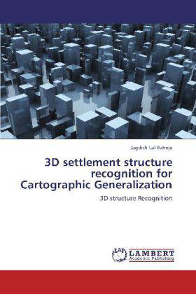
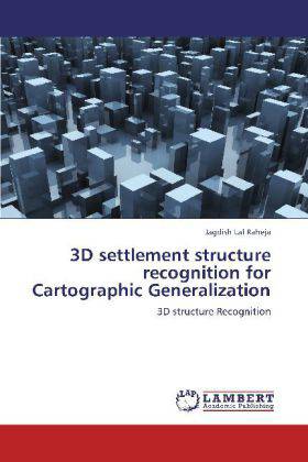
3D settlement structure recognition for Cartographic Generalization
3D structure Recognition
Jagdish Lal Raheja
Paperback | Engels
€ 48,45
+ 96 punten
Omschrijving
When a given 3D city model, consisting of mainly buildings and roads, is viewed at reduced scale, its objects not only become smaller but tend to conflict due to small area available. Generalization plays an important role to overcome these effects and helps in preserving the required legibility. Various operations are performed during generalization on these objects. One of the primary requirements for generalization is structure recognition. It not only involves structure recognition of individual object but various objects in neighborhood as well and includes many spatial relations among them. This book aims at recognizing 3D settlement structures for automatic generalization, an innovative extension to 2D. The recognition procedure has been divided into three levels namely micro, meso and macro and is based upon individual buildings, buildings in neighborhood and buildings at cluster level having similar properties such as settlement blocks as well as psychophysically perceived groups. The structure recognition leads to development of various rules based on spatial as well as non-spatial conflicts among them. These rules are then used for cartographic generalization.
Specificaties
Betrokkenen
- Auteur(s):
- Uitgeverij:
Inhoud
- Aantal bladzijden:
- 116
- Taal:
- Engels
Eigenschappen
- Productcode (EAN):
- 9783848409662
- Uitvoering:
- Paperback
- Afmetingen:
- 220

Alleen bij Standaard Boekhandel
+ 96 punten op je klantenkaart van Standaard Boekhandel
Beoordelingen
We publiceren alleen reviews die voldoen aan de voorwaarden voor reviews. Bekijk onze voorwaarden voor reviews.


