- Afhalen na 1 uur in een winkel met voorraad
- Gratis thuislevering in België vanaf € 30
- Ruim aanbod met 7 miljoen producten
- Afhalen na 1 uur in een winkel met voorraad
- Gratis thuislevering in België vanaf € 30
- Ruim aanbod met 7 miljoen producten
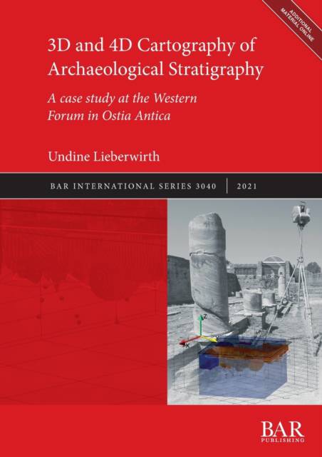
3D and 4D Cartography of Archaeological Stratigraphy
A case study at the Western Forum in Ostia Antica
Undine LieberwirthOmschrijving
This monograph focuses on one of the most interesting sections of the Main Forum of Ostia Antica, the ancient commercial port of Rome, during the 2nd-6th centuries AD. With a detailed 3D reconstruction of all collected information, it is possible to gain detailed insights into the development and destruction of the city centre during the transition from Antiquity to the Early Middle Ages. The applied 3D volume map in this study makes this possible by combining 2D, 2.5D and 3D solid objects inside a real geo-space. It completes the 3D space, generally filled with hollow objects, with content. With this work, Undine Lieberwirth gives archaeologists a free and open ready-to-use tool. The resulting space-time model of archaeological stratigraphy, geophysics and pedology opens new perspectives on 3D documentation and 3D analysis of archaeological and archaeology-related data. Her intention is not only to preserve archaeological excavation data in the best way possible but also to prepare them for future 3D and 4D analysis. The digital 3D cartography offers the perfect framework for this. To represent these 3D models appropriately, the usual 2D images in this monograph are replaced with 8 videos.
Specificaties
Betrokkenen
- Auteur(s):
- Uitgeverij:
Inhoud
- Aantal bladzijden:
- 116
- Taal:
- Engels
- Reeks:
- Reeksnummer:
- nr. 3040
Eigenschappen
- Productcode (EAN):
- 9781407357867
- Verschijningsdatum:
- 10/09/2021
- Uitvoering:
- Paperback
- Formaat:
- Trade paperback (VS)
- Afmetingen:
- 210 mm x 297 mm
- Gewicht:
- 394 g

Alleen bij Standaard Boekhandel
Beoordelingen
We publiceren alleen reviews die voldoen aan de voorwaarden voor reviews. Bekijk onze voorwaarden voor reviews.


